Cuyamaca Rancho State Park, California by Tom Harrison Maps
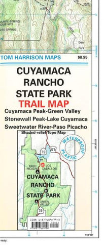
Shaded relief topo map of Cuyama Rancho State Park. Covers Cuyamaca Peak-Green Valley, Stonewall Peak- Lake Cuyamaca, Sweetwater River-Paso Picacho. Scale:1:31,680 (2 inches = 1 mile). Printed on waterproof and tear resistant material
- Product Number: 2033573M
- Product Code: TH_CUYAMACA
- ISBN: 9781877689796
- Year of Publication: 2003
- Folded Size: 8.66 x 3.94 inches
- Unfolded Size: 25.2 x 14.96 inches
- Map type: Folded Map
- Geographical region: California

