
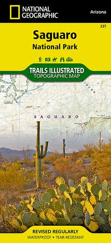


Saguaro National Park, Map 237 by National Geographic Maps
Click to Zoom (high resolution)
• Waterproof • Tear-Resistant • Topographic Map
This Trails Illustrated topographic map for Arizonas Saguaro National Park and surrounding areas to the east and west of Tucson, is the perfect map for hiking, biking, exploring, climbing, riding, camping, and sightseeing in this beautiful desert wilderness.
The map includes Saguaro National Park, east and west, Saguaro Wilderness, Tucson Mountain Park, the Tucson Mountains, Tanque Verde Ridge, Hope Camp Trail, Yetman Trail, Signal Hill Picnic Area and Petroglyphs Trail, and much more. Includes UTM grids for use with your GPS unit.
Map Scale = 1:35,000
- Product Number: 2032663M
- Product Code: TI_SAGUARO
- Publisher Product ID: TI00000237
- ISBN: 9781566952408
- Year of Publication: 2008
- Folded Size: 9.45 x 4.33 inches
- Unfolded Size: 24.8 x 33.07 inches
- Map type: Folded Map
- Geographical region: Arizona


