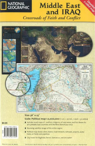
Middle East with Iraq: Crossroads of Faith and Conflict by National Geographic Maps
Political map of the Middle East and Iraq with satellite images. Includes inset maps of conflicts, religions, oil and water, and Fact Boxes for all 15 Middle East countries and the West Bank/Gaza Strip. Features city insets for Baghdad, Beirut, Damascus, and Jerusalem.
- Product Number: 2032647M
- Product Code: NG_MIDDLE
- ISBN: 9780792227205
- Year of Publication: 2010
- Folded Size: 9.06 x 5.91 inches
- Unfolded Size: 22.24 x 35.24 inches
- Map type: Folded Map
- Geographical region: Iraq


