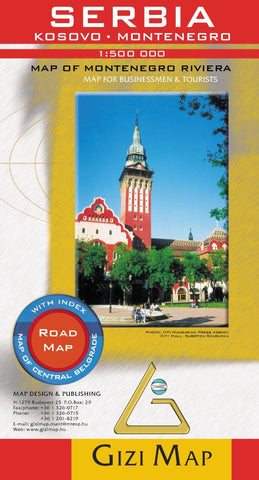
Serbia, Kosova and Montenegro by GiziMap
General road map of Serbia & Montenegro, including Kosovo, with hill shading to portray the relief. Cartography shows several classes of road with driving distances between points indicated, railways, seaports, airports and airfields.
National parks, main administrative boundaries and frontier crossings are shown and symbols depict places of tourist interest such as campsites, places of worship, ruins, spas and historical monuments. Latitude & longitude lines are drawn at 30 intervals, and the map is at a scale of 1:500,000.
An inset street map at 1:15,000 shows central Belgrade. An additional map at 1:175,000 shows the Montenegro Riviera from the Albania border to Cavtat, Craotia.
Legend includes English, Cyrillic script and local languages; index on reverse also includes places within the parts of the bordering countries shown on the map.
- Product Number: 2032406M
- Product Code: GIZ_SER
- ISBN: 9789630080538
- Year of Publication: 2008
- Folded Size: 9.45 x 5.12 inches
- Unfolded Size: 44.49 x 30.12 inches
- Map type: Folded Map
- Geographical region: Serbia


