
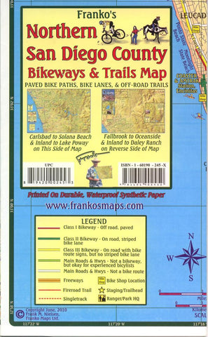
California Map, San Diego Bikeways, Northern, folded, 2010 by Frankos Maps Ltd.
One of two maps covering the recreational areas of San Diego County. Printed on both sides or tear resistant waterproof material, this 14 x 22inches; map covers All the northern county beaches and inland hiking trails and bikeways.
The southern edge of this map touches the Northern Bluff preserve, the Boardwalk trail, the Gonzales Canyon Open Space, The Delmar Mesa connection trail, Black Mountain Open Space Park, Carmel Mountain and more.
The Northern edge is above Carlsbad, Buena Vista Creek, Mesa Rock, and Lake Wolford. Lake Poway and San Diego Wild Animal Park border the Eastside.
- Product Number: 2031943M
- Product Code: FM_SAN_DI_N
- ISBN: 9781601902450
- Year of Publication: 2010
- Folded Size: 7.09 x 4.33 inches
- Unfolded Size: 13.39 x 20.47 inches
- Map type: Folded Map
- Geographical region: California


