
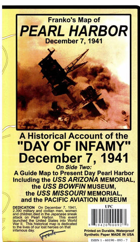
Pearl Harbor, Hawaii, Guide Map, 1941 and Present by Frankos Maps Ltd.
A history lesson in a map! Information, photographs and a detailed map describe events leading up to the attack on Pearl Harbor, Hawaii, December 7, 1941, the event itself, and its aftermath. The reverse side shows a depiction of Pearl Harbor as it is today, with detailed information, mapping and illustrations on the memorials and museums. Printed on durable, waterproof tear-resistant material. 14 x 21, folded to 4 x 7.
- Product Number: 2030559M
- Product Code: FM_PEARL_HARB
- ISBN: 9781601900937
- Year of Publication: 2011
- Folded Size: 7.09 x 4.33 inches
- Unfolded Size: 13.39 x 20.47 inches
- Map type: Folded Map
- Geographical region: Hawaii


