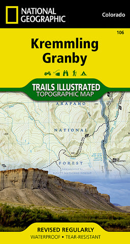
Kremmling and Granby, Colorado, Map 106 by National Geographic Maps
Click to Zoom (high resolution)
• Waterproof • Tear-Resistant • Topographic Map
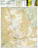
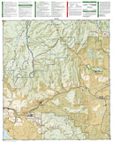
Coverage includes the Arapaho National Forest, Arapaho National Recreation Area, the cities of Kremmling, Granby, Hot Sulphur Springs and Parshall. Additional recreational hotspots on the map include a popular segment of the Colorado River; Willow Creek, Windy Gap, Hinman and Williams Fork reservoirs; Antelope, Cottonwood and Gunsight passes; and the Silver Creek Ski Area. Includes UTM grids for use with your GPS unit.
- Product Number: 2029312M
- Product Code: TI_CO_106
- Publisher Product ID: TI00000106
- ISBN: 9781566953368
- Year of Publication: 2007
- Folded Size: 7.48 x 3.94 inches
- Unfolded Size: 26.38 x 24.02 inches
- Map type: Folded Map
- Geographical region: Colorado

