
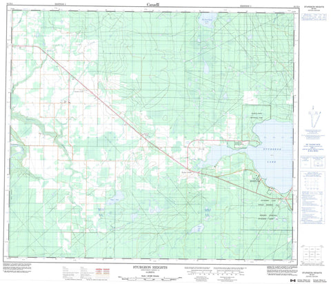
083N04 Sturgeon Heights Canada topo map, 1:50,000 scale
083N04 Sturgeon Heights NRCAN topographic map.
Includes UTM and GPS geographic coordinates (latitude and longitude). This 50k scale map is suitable for hiking, camping, and exploring, or you could frame it as a wall map.
Printed on-demand using high resolution, on heavy weight and acid free paper, or as an upgrade on a variety of synthetic materials.
Topos available on paper, Waterproof, Poly, or Tyvek. Usually shipping rolled, unless combined with other folded maps in one order.
- Product Number: NRCAN-083N04
- Parent Topo: TOPO-083N
- Map ID also known as: 083N04, 83N4, 83N04
- Unfolded Size: Approximately 26" high by 36" wide
- Weight (paper map): ca. 55 grams
- Map Type: POD NRCAN Topographic Map
- Map Scale: 1:50,000
- Geographical region: Alberta, Canada
Neighboring Maps:
All neighboring Canadian topo maps are available for sale online at 1:50,000 scale.
Purchase the smaller scale map covering this area: Topo-083N
Spatial coverage:
Topo map sheet 083N04 Sturgeon Heights covers the following places:
- Pelican Lake - Puskwaskau Lake - Sturgeon Lake - Swan Lake - Municipal District of Greenview No. 16 - Williamson Provincial Park - Young's Point Provincial Park - Cornwall Creek - DeBolt Creek - Debolt Creek - Goose Creek - Harper Creek - Simonette River - Wabatanisk Creek - Calais - Clarkson Valley - Crooked Creek - Moose Portage - Sturgeon Heights


