
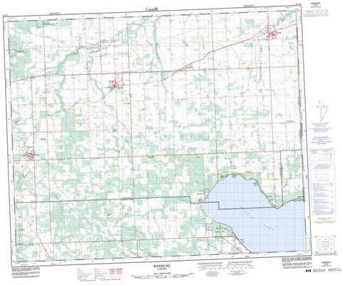
083G01 Warburg Canada topo map, 1:50,000 scale
083G01 Warburg NRCAN topographic map.
Includes UTM and GPS geographic coordinates (latitude and longitude). This 50k scale map is suitable for hiking, camping, and exploring, or you could frame it as a wall map.
Printed on-demand using high resolution, on heavy weight and acid free paper, or as an upgrade on a variety of synthetic materials.
Topos available on paper, Waterproof, Poly, or Tyvek. Usually shipping rolled, unless combined with other folded maps in one order.
- Product Number: NRCAN-083G01
- Parent Topo: TOPO-083G
- Map ID also known as: 083G01, 83G1, 83G01
- Unfolded Size: Approximately 26" high by 36" wide
- Weight (paper map): ca. 55 grams
- Map Type: POD NRCAN Topographic Map
- Map Scale: 1:50,000
- Geographical region: Alberta, Canada
Neighboring Maps:
All neighboring Canadian topo maps are available for sale online at 1:50,000 scale.
Purchase the smaller scale map covering this area: Topo-083G
Spatial coverage:
Topo map sheet 083G01 Warburg covers the following places:
- Fifteen Lake - Pigeon Lake - Pigeon Hills - Brazeau County - County of Leduc No. 25 - County of Wetaskiwin No. 10 - Leduc County - Municipal District of Brazeau No. 77 - Pigeon Lake Provincial Park - Battle Creek - Little Strawberry Creek - Modeste Creek - Modeste Creek - Poplar Creek - Poplar Creek - Strawberry Creek - Sunnybrook Creek - Weed Creek - Alsike - Fern Creek - Fisher Home - Fraspur - Keystone - Mission Beach - Mulhurst - Norbuck - Sandholm Beach - Sunnybrook - Weed Creek - Wenham Valley - Yeoford - Argentia Beach - Breton - Golden Days - Itaska Beach - Poplar Bay - Sundance Beach - Thorsby - Warburg


