
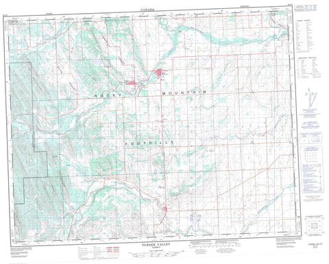
082J09 Turner Valley Canada topo map, 1:50,000 scale
082J09 Turner Valley NRCAN topographic map.
Includes UTM and GPS geographic coordinates (latitude and longitude). This 50k scale map is suitable for hiking, camping, and exploring, or you could frame it as a wall map.
Printed on-demand using high resolution, on heavy weight and acid free paper, or as an upgrade on a variety of synthetic materials.
Topos available on paper, Waterproof, Poly, or Tyvek. Usually shipping rolled, unless combined with other folded maps in one order.
- Product Number: NRCAN-082J09
- Parent Topo: TOPO-082J
- Map ID also known as: 082J09, 82J9, 82J09
- Unfolded Size: Approximately 26" high by 36" wide
- Weight (paper map): ca. 55 grams
- Map Type: POD NRCAN Topographic Map
- Map Scale: 1:50,000
- Geographical region: Alberta, Canada
Neighboring Maps:
All neighboring Canadian topo maps are available for sale online at 1:50,000 scale.
Purchase the smaller scale map covering this area: Topo-082J
Spatial coverage:
Topo map sheet 082J09 Turner Valley covers the following places:
- Big Rock - Blue Ridge - Channel Ridge - Jim Ridge - John Ware Ridge - Kew Ridge - Longview Hill - Nigger John Ridge - Okotoks Mountain - Rocky Mountain Foothills - Sam Ridge - Whisky Ridge - Municipal District of Foothills No. 31 - Improvement District No. 5 - Kananaskis Improvement District - Bull Creek - Bull Creek - Coal Creek - Heel Creek - Highwood River - Ings Creek - Jim Creek - Lineham Creek - Long Prairie Creek - Macabee Creek - Mudsprings Creek - North Sullivan Creek - Sheep River - South Sullivan Creek - Spring Creek - Sullivan Creek - Threepoint Creek - Ware Creek - Wolf Creek - Sam Howe Crossing - Black Diamond - Turner Valley - Hartell - Kew - Royalties - Coal Coulee - Macabee Gap - Turner Valley - Waite Valley - Wilson Coulee - Sam Howe Flats - Longview


