
082J08 Stimson Creek Canada topo map, 1:50,000 scale
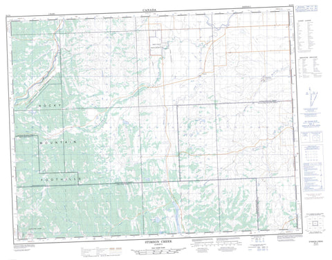
082J08 Stimson Creek NRCAN topographic map.
Includes UTM and GPS geographic coordinates (latitude and longitude). This 50k scale map is suitable for hiking, camping, and exploring, or you could frame it as a wall map.
Printed on-demand using high resolution, on heavy weight and acid free paper, or as an upgrade on a variety of synthetic materials.
Topos available on paper, Waterproof, Poly, or Tyvek. Usually shipping rolled, unless combined with other folded maps in one order.
- Product Number: NRCAN-082J08
- Parent Topo: TOPO-082J
- Map ID also known as: 082J08, 82J8, 82J08
- Unfolded Size: Approximately 26" high by 36" wide
- Weight (paper map): ca. 55 grams
- Map Type: POD NRCAN Topographic Map
- Map Scale: 1:50,000
- Geographical region: Alberta, Canada
Neighboring Maps:
All neighboring Canadian topo maps are available for sale online at 1:50,000 scale.
Purchase the smaller scale map covering this area: Topo-082J
Spatial coverage:
Topo map sheet 082J08 Stimson Creek covers the following places:
- McConnel Falls - Eden Valley 216 - Beaudry Lakes - Chain Lakes - Chain Lakes Reservoir - Dirtywater Lake - Marguerite Lake - Meinsinger Lake - Livingstone Range - Rocky Mountain Foothills - Sentinel Peak - Municipal District of Foothills No. 31 - Municipal District of Ranchland No. 66 - Municipal District of Willow Creek No. 26 - Improvement District No. 5 - Improvement District of Ranchland No. 6 - Kananaskis Improvement District - Bar U Ranch National Historic Site of Canada - Lieu historique national du Canada du Ranch-Bar U - Rocky Flat - Bear Creek - Beaver Creek - Big Jim Creek - Bull Creek - Bull Creek - Coal Creek - Corral Creek - Cross Creek - Cutthroat Creek - Deep Creek - Emerson Creek - Flat Creek - Greenfeed Creek - Hay Creek - Highwood River - MacMillan Creek - Meinsinger Creek - Miller Creek - Mosquito Creek - Pekisko Creek - Salt Creek - Saskatoon Creek - Sheppard Creek - Stimson Creek - Sullivan Creek - Trap Creek - Waldie Creek - Willow Creek - Muirhead - Pekisko - Coal Coulee - Devil's Bite - Dickson Coulée - Kotch Gap - Miller Gap - Sentinel Pass


