
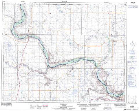
072L13 Wardlow Canada topo map, 1:50,000 scale
072L13 Wardlow NRCAN topographic map.
Includes UTM and GPS geographic coordinates (latitude and longitude). This 50k scale map is suitable for hiking, camping, and exploring, or you could frame it as a wall map.
Printed on-demand using high resolution, on heavy weight and acid free paper, or as an upgrade on a variety of synthetic materials.
Topos available on paper, Waterproof, Poly, or Tyvek. Usually shipping rolled, unless combined with other folded maps in one order.
- Product Number: NRCAN-072L13
- Parent Topo: TOPO-072L
- Map ID also known as: 072L13, 72L13
- Unfolded Size: Approximately 26" high by 36" wide
- Weight (paper map): ca. 55 grams
- Map Type: POD NRCAN Topographic Map
- Map Scale: 1:50,000
- Geographical region: Alberta, Canada
Neighboring Maps:
All neighboring Canadian topo maps are available for sale online at 1:50,000 scale.
Purchase the smaller scale map covering this area: Topo-072L
Spatial coverage:
Topo map sheet 072L13 Wardlow covers the following places:
- Forster Reservoir - Hunting Hill - County of Newell No. 4 - Special Area No. 2 - Dinosaur Provincial Park - Dinosaur Provincial Park World Heritage Site - Site du patrimoine mondial du Parc provincial Dinosaur - Berry Creek - Deadfish Creek - Douglas Creek - East Berry Creek - Little Sandhill Creek - Matzhiwin Creek - Onetree Creek - Red Deer River - Steveville - Verger - Wardlow - Deadlodge Canyon


