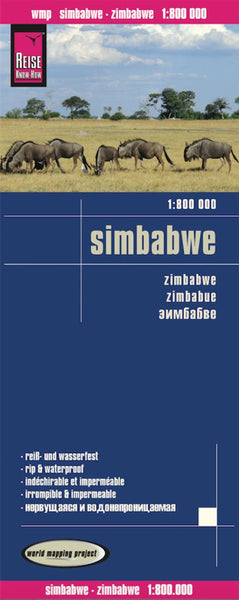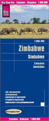
Zimbabwe : 1:800 000 = Simbabwe : 1:800 000 = Zimbabue : 1:800 000 : 1:800 000
Indexed, waterproof and tear-resistant road map Zimbabwe at 1:800,000 with topographic and tourist information, published by Reise Know-How as part of their highly acclaimed World Mapping Project. The map is double-sided to provide the best balance between a good scale and a convenient size sheet.
Topography is indicated by altitude colouring with numerous spot heights, names of mountain ranges and passes, salt pans, marshes and swamps. In northern Matabeleland in the Hwange National Park numerous pans are marked. Road information includes seasonal tracks and indicates intermediate driving distances on main and secondary roads. Locations of petrol stations, veterinary cordon fences and border crossings are also marked. Other transport details include railways and local airfields. Internal administrative boundaries are shown with names of the provinces.
National parks and protected areas are marked and symbols highlight various places of interest: UNESCO world heritage s
- Product Number: RKH_ZIM_19
- Reference Product Number: 2328635M
- ISBN: 9783831772704
- Date of Publication: 6/1/2019
- Folded Size: 10.24 inches high by 4.72 inches wide
- Unfolded (flat) Size: 27.56 inches high by 39.37 inches wide
- Map format: Folded
- Map type: Trade Maps - Road
- Geographical region: Zimbabwe