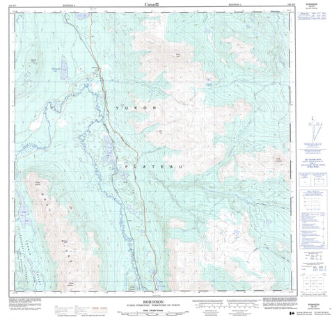
105D07 Robinson Canada topo map, 1:50,000 scale
105D07 Robinson NRCAN topographic map.
Includes UTM and GPS geographic coordinates (latitude and longitude). This 50k scale map is suitable for hiking, camping, and exploring, or you could frame it as a wall map.
Printed on-demand using high resolution, on heavy weight and acid free paper, or as an upgrade on a variety of synthetic materials.
Topos available on paper, Waterproof, Poly, or Tyvek. Usually shipping rolled, unless combined with other folded maps in one order.
- Product Number: NRCAN-105D07
- Parent Topo: TOPO-105D
- Map ID also known as: 105D07, 105D7
- Unfolded Size: Approximately 26" high by 36" wide
- Weight (paper map): ca. 55 grams
- Map Type: POD NRCAN Topographic Map
- Map Scale: 1:50,000
- Geographical region: Yukon, Canada
Neighboring Maps:
All neighboring Canadian topo maps are available for sale online at 1:50,000 scale.
Purchase the smaller scale map covering this area: Topo-105D
Spatial coverage:
Topo map sheet 105D07 Robinson covers the following places:
- Mount Lorne - Annie Lake - Blue Lake - Cougar Lake - Cowley Lakes - Lewes Lake - McConnell Lake - Spirit Lake - Boundary Ranges - Chaîne Côtière - Coast Mountains - Gilliam Mountain - Gray Ridge - Minto Hill - Mosquito Hill - Mount Gilliam - Mount Lansdowne - Mount Lorne - Needle Mountain - Surprise Mountain - Watson Ridge - White Hill - Yukon Plateau - Bear Creek - Bear Creek - Dugdale Creek - Lewes Creek - Perkins Creek - Schnabel Creek - Stevens Creek - Tagish Creek - Thompson Creek - Twelve Mile Creek - Wabona Creek - Watson River - Wheaton River - De Wette - Lansdowne - Lewis - Lorne - Minto - Robinson - Corwin Valley