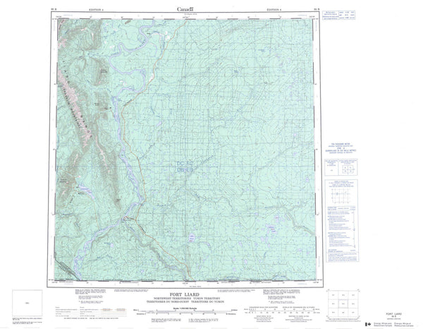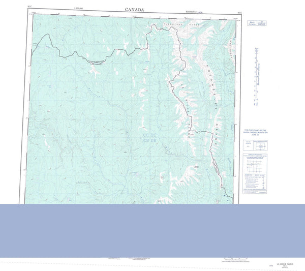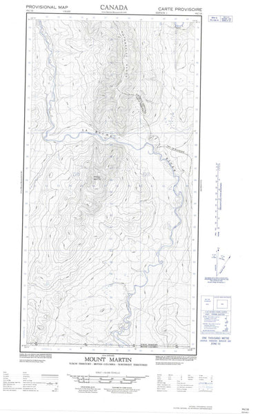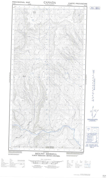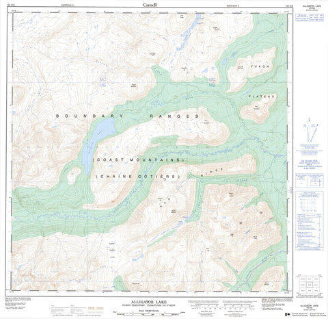
105D06 Alligator Lake Canada topo map, 1:50,000 scale
105D06 Alligator Lake NRCAN topographic map.
Includes UTM and GPS geographic coordinates (latitude and longitude). This 50k scale map is suitable for hiking, camping, and exploring, or you could frame it as a wall map.
Printed on-demand using high resolution, on heavy weight and acid free paper, or as an upgrade on a variety of synthetic materials.
Topos available on paper, Waterproof, Poly, or Tyvek. Usually shipping rolled, unless combined with other folded maps in one order.
- Product Number: NRCAN-105D06
- Parent Topo: TOPO-105D
- Map ID also known as: 105D06, 105D6
- Unfolded Size: Approximately 26" high by 36" wide
- Weight (paper map): ca. 55 grams
- Map Type: POD NRCAN Topographic Map
- Map Scale: 1:50,000
- Geographical region: Yukon, Canada
Neighboring Maps:
All neighboring Canadian topo maps are available for sale online at 1:50,000 scale.
Purchase the smaller scale map covering this area: Topo-105D
Spatial coverage:
Topo map sheet 105D06 Alligator Lake covers the following places:
- Alligator Lake - Coal Lake - Hodnett Lakes - Alligator Mountain - Beresford Hill - Boundary Ranges - Bush Mountain - Chaîne Côtière - Coal Ridge - Coast Mountains - Double Mountain - Follé Mountain - Goat Mountain - Gold Hill - Idaho Hill - Lakeview Mountain - Mineral Hill - Mount Follé - Mount Hodnett - Mount Perkins - Mount Wheaton - Mule Hill - Perkins Peak - Ptarmigan Hill - Pugh Peak - Red Ridge - Twin Mountain - Vesuvius Hill - Yukon Plateau - Dail Creek - Dawson Charlie Creek - Dugdale Creek - Friday Creek - Ibex River - Morrison Creek - Perkins Creek - Schnabel Creek - Stevens Creek - Summit Creek - Tally-Ho Creek - Thompson Creek - Towle Creek - Two Horse Creek - Watson River - Wheaton River - Wolf Creek - Summit Creek Pass