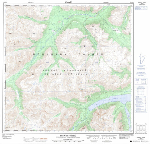
105D03 Fenwick Creek Canada topo map, 1:50,000 scale
105D03 Fenwick Creek NRCAN topographic map.
Includes UTM and GPS geographic coordinates (latitude and longitude). This 50k scale map is suitable for hiking, camping, and exploring, or you could frame it as a wall map.
Printed on-demand using high resolution, on heavy weight and acid free paper, or as an upgrade on a variety of synthetic materials.
Topos available on paper, Waterproof, Poly, or Tyvek. Usually shipping rolled, unless combined with other folded maps in one order.
- Product Number: NRCAN-105D03
- Parent Topo: TOPO-105D
- Map ID also known as: 105D03, 105D3
- Unfolded Size: Approximately 26" high by 36" wide
- Weight (paper map): ca. 55 grams
- Map Type: POD NRCAN Topographic Map
- Map Scale: 1:50,000
- Geographical region: Yukon, Canada
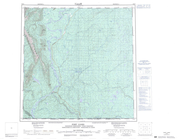
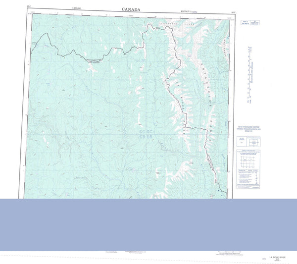
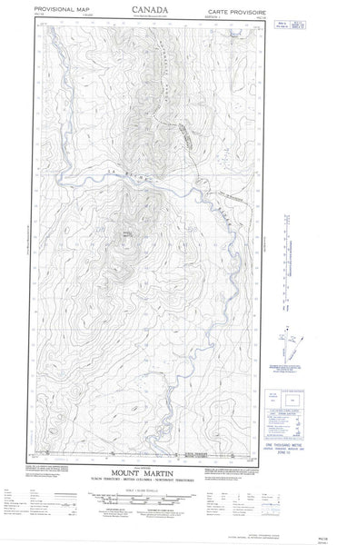
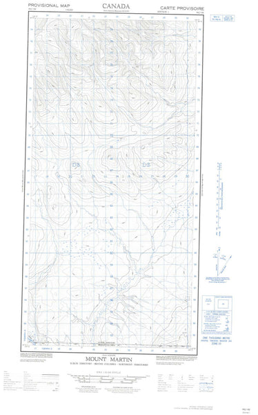
Neighboring Maps:
All neighboring Canadian topo maps are available for sale online at 1:50,000 scale.
Purchase the smaller scale map covering this area: Topo-105D
Spatial coverage:
Topo map sheet 105D03 Fenwick Creek covers the following places:
- West Arm - Bennett Lake - Munroe Lake - Partridge Lake - Boundary Ranges - Carbon Hill - Chaîne Côtière - Chieftain Hill - Cleft Mountain - Coast Mountains - Dickson Hill - Mount Anderson - Mount Bell - Mount Brown - Mount Kopje - Mount MacAuley - Mount McNeil - Mount Reid - Mount Skukum - Mount Stevens - Mount Ward - Stony Mountain - Tally-ho Mountain - Tally-Ho Mountain - Antimony Creek - Becker Creek - Berney Creek - Boudette Creek - Butte Creek - Crozier Creek - Dawson Charlie Creek - Dry Creek - Fenwick Creek - Jones Creek - Latreille Creek - Lemieux Creek - Macauley Creek - MacAuley Creek - Millhaven Creek - Munroe Creek - Partridge Creek - Partridge River - Skukum Creek - Stevens Creek - Summit Creek - Tally-Ho Creek - Wheaton River - Chieftain Gulch - Partridge Pass