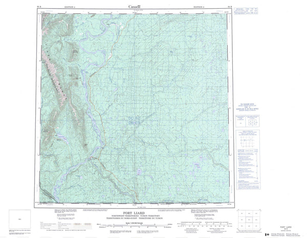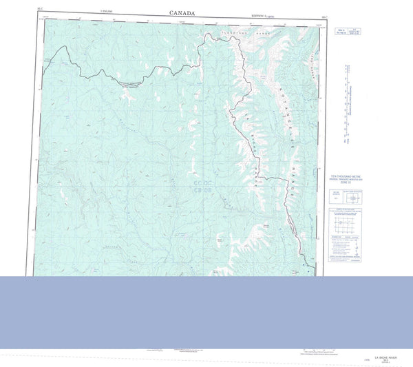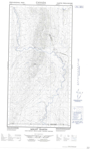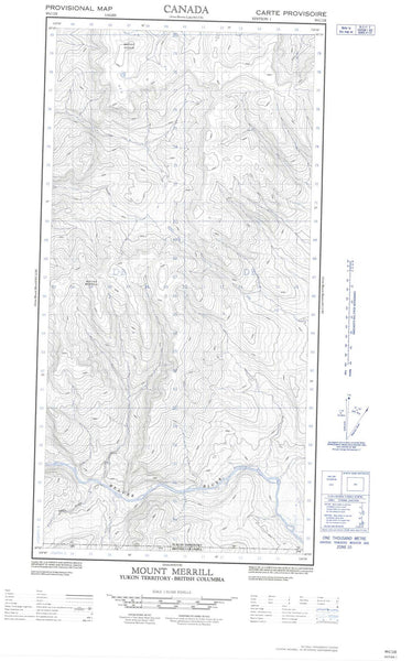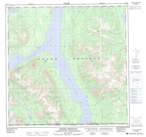
105D01 Jubilee Mountain Canada topo map, 1:50,000 scale
105D01 Jubilee Mountain NRCAN topographic map.
Includes UTM and GPS geographic coordinates (latitude and longitude). This 50k scale map is suitable for hiking, camping, and exploring, or you could frame it as a wall map.
Printed on-demand using high resolution, on heavy weight and acid free paper, or as an upgrade on a variety of synthetic materials.
Topos available on paper, Waterproof, Poly, or Tyvek. Usually shipping rolled, unless combined with other folded maps in one order.
- Product Number: NRCAN-105D01
- Parent Topo: TOPO-105D
- Map ID also known as: 105D01, 105D1
- Unfolded Size: Approximately 26" high by 36" wide
- Weight (paper map): ca. 55 grams
- Map Type: POD NRCAN Topographic Map
- Map Scale: 1:50,000
- Geographical region: Yukon, Canada
Neighboring Maps:
All neighboring Canadian topo maps are available for sale online at 1:50,000 scale.
Purchase the smaller scale map covering this area: Topo-105D
Spatial coverage:
Topo map sheet 105D01 Jubilee Mountain covers the following places:
- Taku Arm - Perthes Point - Squaw Point - Crag Lake - Striker Lake - Tagish Lake - Alfred Butte - Base Mountain - Escarpment Mountain - Jubilee Mountain - Lime Mountain - Mount Morin - Mount Thompson - Red Range - White Mountain - White Range - Yukon Plateau - British Columbia - Colombie-Britannique - Leine Creek - Lime Creek - Moose Brook - Mosquito Creek - Pennycook Creek - Ramshorn Creek - Wolverine Creek - Yukon - Ten Mile - Striker Pass