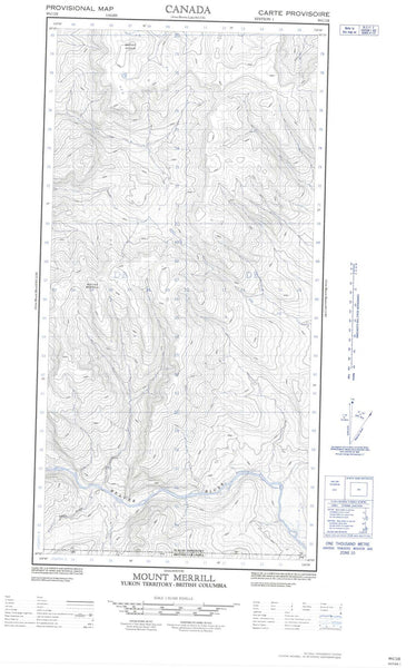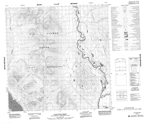
105C07 Lone Tree Creek Canada topo map, 1:50,000 scale
105C07 Lone Tree Creek NRCAN topographic map.
Includes UTM and GPS geographic coordinates (latitude and longitude). This 50k scale map is suitable for hiking, camping, and exploring, or you could frame it as a wall map.
Printed on-demand using high resolution, on heavy weight and acid free paper, or as an upgrade on a variety of synthetic materials.
Topos available on paper, Waterproof, Poly, or Tyvek. Usually shipping rolled, unless combined with other folded maps in one order.
- Product Number: NRCAN-105C07
- Parent Topo: TOPO-105C
- Map ID also known as: 105C07, 105C7
- Unfolded Size: Approximately 26" high by 36" wide
- Weight (paper map): ca. 55 grams
- Map Type: POD NRCAN Topographic Map
- Map Scale: 1:50,000
- Geographical region: Yukon, Canada
Neighboring Maps:
All neighboring Canadian topo maps are available for sale online at 1:50,000 scale.
Purchase the smaller scale map covering this area: Topo-105C
Spatial coverage:
Topo map sheet 105C07 Lone Tree Creek covers the following places:
- Colwell Bay - {1}'êw X'àyi - Tlêx' À X'àyí - {1}'awshà Gúksh - Àtagwêx'i Âyi - Teslin Lake - {3}{17}y Gûn - Big Salmon Mountains - Big Salmon Range - Pelly Mountains - Yukon Plateau - Deadman Creek - Deadmans Creek - Lone Tree Creek - Na{2}asìn River - Ten Mile Creek - Tenmile Creek - Teslin River - Wolf River - Xûts Uwa{2}axu Yé