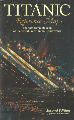
Titanic Reference Map by Hedberg Maps
The first complete map of the worlds most famous shipwreck. The two-sided full-color infographic map unfolds to 39 x 26. The map side illustrates the course of the Titanic and her rescue ships as well as pre- and post-disaster shipping lanes. Deep-ocean diagrams of the search process and other Titanic-related points of interest are also included. The ship side contains color-coded deck plans, cutaway views and escape routes, portraits of noted passengers and crew, a full bibliography and more.
- Product Number: 2030549M
- Product Code: HED_TITANIC
- ISBN: 9781593530112
- Year of Publication: 2006
- Folded Size: 9.06 x 5.51 inches
- Unfolded Size: 24.41 x 37.01 inches
- Map type: Folded Map
- Geographical region: World

