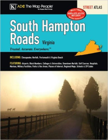
South Hampton Roads, Virginia, Street Atlas by Kappa Map Group
The South Hampton Roads, VA Atlas is a full-color street atlas, including: Chesapeake, Norfolk, Portsmouth, and Virginia Beach; and features: Airports, Campgrounds, Colleges and Universities, Downtown Norfolk, Golf Courses, Great Dismal Swamp NWR, Marinas and Boat Ramps, Military Facilities, Parks and Rec Areas, Places of Interest, Schools, and ZIP Codes.
Spiral-bound.
- Product Number: 2156107
- Product Code: KMG_S_HAMP_AT
- ISBN: 9780762584567
- Year of Publication: 2012
- Unfolded Size: 11.02 x 8.660 inches
- Map type: Atlas
- Geographical region: Virginia

