
Hampton, Norfolk and Virginia Beach, Virginia by Rand McNally
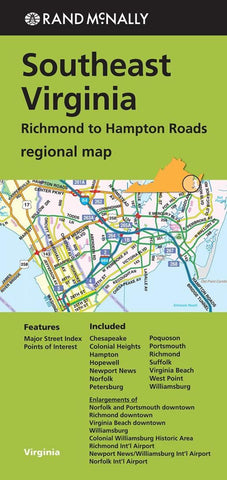
Rand McNallys folded map for Southeast Virginia Richmond to Hampton Roads is a must-have for anyone traveling in and around this part of Virginia, offering unbeatable accuracy and reliability at a great price. Trusted cartography shows all Interstate, U.S., state, and county highways, along with clearly indicated parks, points of interest, airports, county boundaries, and streets. The easy-to-use legend and detailed index make for quick and easy location of destinations.
Regularly updated
Full-color maps
Clearly labeled Interstate, U.S., state, and county highways
Indications of parks, points of interest, airports, county boundaries, downtown & vicinity maps
Major attractions & Golf Courses
Enlargements of Norfolk and Portsmouth downtown, Richmond downtown, Virginia Beach downtown, Williamsburg, Colonial Williamsburg Historic Area, Richmond Intl Airport, Newport News/Williamsburg Intl Airport, Norfolk Intl Airport
Easy-to-use legend
Detailed index & Major Street Index
Convenient folded size
© 2014
Coverage Area Chesapeake, Colonial Heights, Hampton, Hopewell, Newport News, Norfolk, Petersburg, Poquoson, Portsmouth, Richmond, Suffolk, Virginia Beach, West Point, Williamsburg
- Product Number: 2154646M
- Product Code: RM_HAMPTON
- ISBN: 9780528008160
- Year of Publication: 2014
- Folded Size: 9.06 x 4.33 inches
- Unfolded Size: 38.58 x 26.77 inches
- Map type: Folded Map
- Geographical region: Virginia


