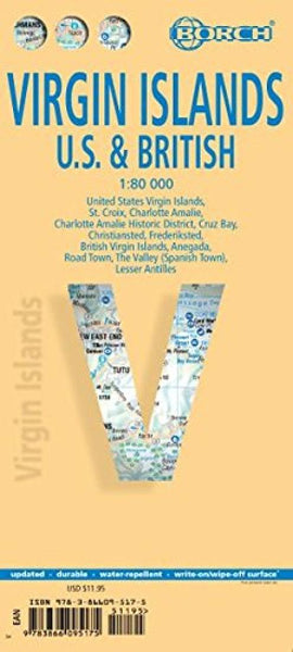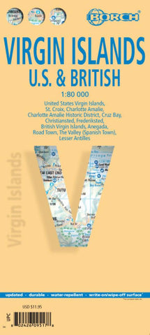
Virgin Islands, U.S. and British
British and US Virgin Islands at 1:80,000 on a waterproof and tear-resistant, indexed tourist map from Borch with street plans of The Valley, Road Town, Charlotte Amalie, Cruz Bay, Christiansted and Frederiksted.
On one side are the US Virgin Islands showing St. Croix, St. Thomas and St John with the surrounding smaller islands. Insets show street plans of Charlotte Amalie, Cruz Bay, Christiansted and Frederiksted.
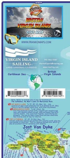
On the reverse are the British Virgin Islands: Jost Van Dyke, Tortola, Virgin Gorda, Anegada, including the islands south of the Sir Francis Drake Channel. Street plans show The Valley (Spanish Town) and Road Town.
Both maps of the islands and the street plan are indexed and highlight selected accommodation and various places of interest including beaches, windsurfing/scuba diving/snorkelling sites, etc. Topography of the islands is shown by relief shading. National Parks and other protected areas are highlighted.
Also provided are climate cha
- Product Number: BOR_VIRGIN_14
- Reference Product Number: 2208798M
- ISBN: 9783866095175
- Date of Publication: 6/1/2014
- Folded Size: 9.45 inches high by 4.33 inches wide
- Unfolded (flat) Size: 34.65 inches high by 19.29 inches wide
- Map format: Folded
- Map type: Trade Maps - Travel
- Geographical region: Virgin Islands, British,Virgin Islands, United States