Free Shipping on map orders over $300 - Prices in US$
~ Powell Buttes OR topo map, 1:62500 scale, 15 X 15 Minute, Historical, 1962, updated 1972
~ Powell Buttes OR topo map, 1:62500 scale, 15 X 15 Minute, Historical, 1962, updated 1963
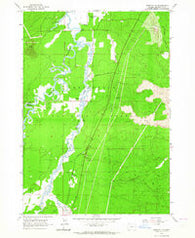
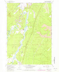
~ Prineville OR topo map, 1:62500 scale, 15 X 15 Minute, Historical, 1962, updated 1973
~ Prineville OR topo map, 1:62500 scale, 15 X 15 Minute, Historical, 1962, updated 1964
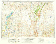
~ Adel OR topo map, 1:250000 scale, 1 X 2 Degree, Historical, 1962, updated 1963
~ Coos Bay OR topo map, 1:250000 scale, 2 X 1 Degree, Historical, 1962, updated 1962
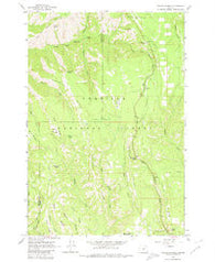
~ Andies Prairie OR topo map, 1:24000 scale, 7.5 X 7.5 Minute, Historical, 1963, updated 1980
~ Andies Prairie OR topo map, 1:24000 scale, 7.5 X 7.5 Minute, Historical, 1963, updated 1984
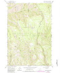
~ Anns Butte OR topo map, 1:24000 scale, 7.5 X 7.5 Minute, Historical, 1963, updated 1975
~ Anns Butte OR topo map, 1:24000 scale, 7.5 X 7.5 Minute, Historical, 1963, updated 1964
~ Anns Butte OR topo map, 1:24000 scale, 7.5 X 7.5 Minute, Historical, 1963, updated 1982
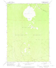
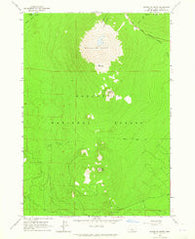
~ Bachelor Butte OR topo map, 1:24000 scale, 7.5 X 7.5 Minute, Historical, 1963, updated 1975
~ Bachelor Butte OR topo map, 1:24000 scale, 7.5 X 7.5 Minute, Historical, 1963, updated 1965
~ Bachelor Butte OR topo map, 1:24000 scale, 7.5 X 7.5 Minute, Historical, 1963, updated 1982
~ Benham Falls OR topo map, 1:24000 scale, 7.5 X 7.5 Minute, Historical, 1963, updated 1964
~ Benham Falls OR topo map, 1:24000 scale, 7.5 X 7.5 Minute, Historical, 1963, updated 1981
~ Bingham Springs OR topo map, 1:24000 scale, 7.5 X 7.5 Minute, Historical, 1963, updated 1965
~ Bingham Springs OR topo map, 1:24000 scale, 7.5 X 7.5 Minute, Historical, 1963, updated 1982
~ Bingham Springs OR topo map, 1:24000 scale, 7.5 X 7.5 Minute, Historical, 1963, updated 1983
~ Blalock Mountain OR topo map, 1:24000 scale, 7.5 X 7.5 Minute, Historical, 1963, updated 1965
~ Blalock Mountain OR topo map, 1:24000 scale, 7.5 X 7.5 Minute, Historical, 1963, updated 1981
~ Blalock Mountain OR topo map, 1:24000 scale, 7.5 X 7.5 Minute, Historical, 1963, updated 1984
~ Buck Butte OR topo map, 1:24000 scale, 7.5 X 7.5 Minute, Historical, 1963, updated 1964
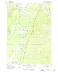
~ Crane Prairie Reservoir OR topo map, 1:24000 scale, 7.5 X 7.5 Minute, Historical, 1963, updated 1992
~ Crane Prairie Reservoir OR topo map, 1:24000 scale, 7.5 X 7.5 Minute, Historical, 1963, updated 1981
~ Crane Prairie Reservoir OR topo map, 1:24000 scale, 7.5 X 7.5 Minute, Historical, 1963, updated 1965
~ Cryder Butte OR topo map, 1:24000 scale, 7.5 X 7.5 Minute, Historical, 1963, updated 1965
~ Cryder Butte OR topo map, 1:24000 scale, 7.5 X 7.5 Minute, Historical, 1963, updated 1981
~ Culver OR topo map, 1:24000 scale, 7.5 X 7.5 Minute, Historical, 1963, updated 1964
~ Davis Mountain OR topo map, 1:24000 scale, 7.5 X 7.5 Minute, Historical, 1963, updated 1965
~ Davis Mountain OR topo map, 1:24000 scale, 7.5 X 7.5 Minute, Historical, 1963, updated 1981
~ Deadhorse Ridge OR topo map, 1:24000 scale, 7.5 X 7.5 Minute, Historical, 1963, updated 1974
~ Deadhorse Ridge OR topo map, 1:24000 scale, 7.5 X 7.5 Minute, Historical, 1963, updated 1965
~ Elk Lake OR topo map, 1:24000 scale, 7.5 X 7.5 Minute, Historical, 1963, updated 1973
~ Elk Lake OR topo map, 1:24000 scale, 7.5 X 7.5 Minute, Historical, 1963, updated 1965
~ Elk Lake OR topo map, 1:24000 scale, 7.5 X 7.5 Minute, Historical, 1963, updated 1981
~ Elk Lake OR topo map, 1:24000 scale, 7.5 X 7.5 Minute, Historical, 1963