
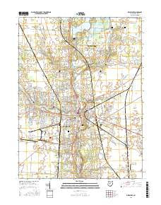
~ Delaware OH topo map, 1:24000 scale, 7.5 X 7.5 Minute, 2016
Delaware, Ohio, USGS topographic map dated 2016.
Includes geographic coordinates (latitude and longitude). This topographic map is suitable for hiking, camping, and exploring, or framing it as a wall map.
Printed on-demand using high resolution imagery, on heavy weight and acid free paper, or alternatively on a variety of synthetic materials.
Topos available on paper, Waterproof, Poly, or Tyvek. Usually shipping rolled, unless combined with other folded maps in one order.
- Product Number: USGS-8564339
- Free digital map download (high-resolution, GeoPDF): Delaware, Ohio (file size: 26 MB)
- Map Size: please refer to the dimensions of the GeoPDF map above
- Weight (paper map): ca. 55 grams
- Map Type: POD USGS Topographic Map
- Map Series: US Topo
- Map Verison: Current
- Cell ID: 11844
- Datum: North American Datum of 1983
- Map Projection: Transverse Mercator
- Map Cell Name: Delaware
- Grid size: 7.5 X 7.5 Minute
- Date on map: 2016
- Map Scale: 1:24000
- Geographical region: Ohio, United States
Neighboring Maps:
All neighboring USGS topo maps are available for sale online at a variety of scales.
Spatial coverage:
Topo map Delaware, Ohio, covers the geographical area associated the following places:
- Nottingham - Central Mobile Home Park - Stratford - Oakdale - Sundale Mobile Home Park - Applegate Bend - Delaware - Stratford Woods - Pluggys Town (historical) - Delaware Meadows - Village At Lehner Woods - Adalee Park - Lantern Chase - Kensington Place - Jones - Belle Avenue Trailer Court - Riverby Estates - West Berlin - The Ravine - Carson Farms - Paget - The Woods At Dornoch Estates - Sunnyview Farms - Millbrook - Shelbourne Forest - Troy Farms - Westfield Hills - Meadows At Carson Farms - Braddington Commons - Lexington Glen - Delaware Mobile Home Park - Crystal Lake Mobile Home Park - Hayes Colony - Wesleyan Woods
- Map Area ID: AREA40.37540.25-83.125-83
- Northwest corner Lat/Long code: USGSNW40.375-83.125
- Northeast corner Lat/Long code: USGSNE40.375-83
- Southwest corner Lat/Long code: USGSSW40.25-83.125
- Southeast corner Lat/Long code: USGSSE40.25-83
- Northern map edge Latitude: 40.375
- Southern map edge Latitude: 40.25
- Western map edge Longitude: -83.125
- Eastern map edge Longitude: -83


