
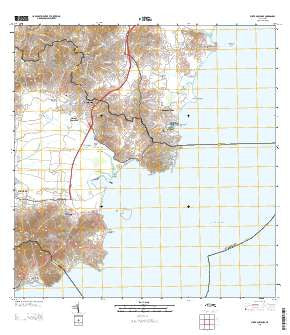
~ Punta Guayanes PR topo map, 1:20000 scale, 7.5 X 7.5 Minute, 2013
Punta Guayanes, Puerto Rico, USGS topographic map dated 2013.
Includes geographic coordinates (latitude and longitude). This topographic map is suitable for hiking, camping, and exploring, or framing it as a wall map.
Printed on-demand using high resolution imagery, on heavy weight and acid free paper, or alternatively on a variety of synthetic materials.
Topos available on paper, Waterproof, Poly, or Tyvek. Usually shipping rolled, unless combined with other folded maps in one order.
- Product Number: USGS-8537841
- Free digital map download (high-resolution, GeoPDF): Punta Guayanes, Puerto Rico (file size: 34 MB)
- Map Size: please refer to the dimensions of the GeoPDF map above
- Weight (paper map): ca. 55 grams
- Map Type: POD USGS Topographic Map
- Map Series: US Topo
- Map Verison: Current
- Cell ID: 36641
- Datum: North American Datum of 1983
- Map Projection: Transverse Mercator
- Map Cell Name: Punta Guayanes
- Grid size: 7.5 X 7.5 Minute
- Date on map: 2013
- Map Scale: 1:20000
- Geographical region: Puerto Rico, United States
Neighboring Maps:
All neighboring USGS topo maps are available for sale online at a variety of scales.
Spatial coverage:
Topo map Punta Guayanes, Puerto Rico, covers the geographical area associated the following places:
- Candelero Arriba - Buena Vista - Playa de Guayanés - El Negro - Comunas - Jardines de Yabucoa - Comunas Comunidad - Miraflores - Candelero Abajo Comunidad - Buena Vista Comunidad - Jose M Mendez - Palmas del Mar Comunidad - Palmas del Mar - El Negro Comunidad - Candelero Arriba Comunidad
- Map Area ID: AREA18.12518-65.875-65.75
- Northwest corner Lat/Long code: USGSNW18.125-65.875
- Northeast corner Lat/Long code: USGSNE18.125-65.75
- Southwest corner Lat/Long code: USGSSW18-65.875
- Southeast corner Lat/Long code: USGSSE18-65.75
- Northern map edge Latitude: 18.125
- Southern map edge Latitude: 18
- Western map edge Longitude: -65.875
- Eastern map edge Longitude: -65.75


