
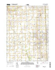
~ Yorkville SE IL topo map, 1:24000 scale, 7.5 X 7.5 Minute, 2015
Yorkville SE, Illinois, USGS topographic map dated 2015.
Includes geographic coordinates (latitude and longitude). This topographic map is suitable for hiking, camping, and exploring, or framing it as a wall map.
Printed on-demand using high resolution imagery, on heavy weight and acid free paper, or alternatively on a variety of synthetic materials.
Topos available on paper, Waterproof, Poly, or Tyvek. Usually shipping rolled, unless combined with other folded maps in one order.
- Product Number: USGS-8001893
- Free digital map download (high-resolution, GeoPDF): Yorkville SE, Illinois (file size: 19 MB)
- Map Size: please refer to the dimensions of the GeoPDF map above
- Weight (paper map): ca. 55 grams
- Map Type: POD USGS Topographic Map
- Map Series: US Topo
- Map Verison: Current
- Cell ID: 50145
- Datum: North American Datum of 1983
- Map Projection: Transverse Mercator
- Map Cell Name: Yorkville SE
- Grid size: 7.5 X 7.5 Minute
- Date on map: 2015
- Map Scale: 1:24000
- Geographical region: Illinois, United States
Neighboring Maps:
All neighboring USGS topo maps are available for sale online at a variety of scales.
Spatial coverage:
Topo map Yorkville SE, Illinois, covers the geographical area associated the following places:
- Lone Tree Grove - Marysville School (historical) - Wyne School (historical) - Baker County Forest Preserve - Bushby RLA Airport - Kendall Post Office (historical) - Lisbon - Seward Fire Protection District Station 2 - Joliet Fire Department Station 10 - Township of Seward - Jones School (historical) - Waish-kee-shaw Reserve (historical) - Little Slough Creek - Bethel School (historical) - Bronk School (historical) - East Aux Sable Creek - Riley's Field - Cherry School (historical) - Middle Aux Sable Creek - Houses Grove Forest Preserve - McKanna School (historical) - McCauley School (historical) - NaAuSay Cemetery - Rossi's Farm Airport - Township of Na-Au-Say - Aux Sable Grove (historical) - Au Sable Grove Church - Heap School (historical) - West Aux Sable Creek - Union School (historical)
- Map Area ID: AREA41.62541.5-88.375-88.25
- Northwest corner Lat/Long code: USGSNW41.625-88.375
- Northeast corner Lat/Long code: USGSNE41.625-88.25
- Southwest corner Lat/Long code: USGSSW41.5-88.375
- Southeast corner Lat/Long code: USGSSE41.5-88.25
- Northern map edge Latitude: 41.625
- Southern map edge Latitude: 41.5
- Western map edge Longitude: -88.375
- Eastern map edge Longitude: -88.25


