
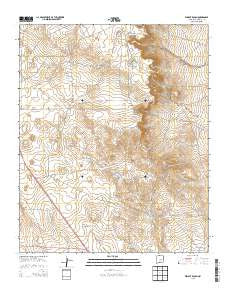
~ Wright Ranch NM topo map, 1:24000 scale, 7.5 X 7.5 Minute, Historical, 2013
Wright Ranch, New Mexico, USGS topographic map dated 2013.
Includes geographic coordinates (latitude and longitude). This topographic map is suitable for hiking, camping, and exploring, or framing it as a wall map.
Printed on-demand using high resolution imagery, on heavy weight and acid free paper, or alternatively on a variety of synthetic materials.
Topos available on paper, Waterproof, Poly, or Tyvek. Usually shipping rolled, unless combined with other folded maps in one order.
- Product Number: USGS-7796818
- Free digital map download (high-resolution, GeoPDF): Wright Ranch, New Mexico (file size: 26 MB)
- Map Size: please refer to the dimensions of the GeoPDF map above
- Weight (paper map): ca. 55 grams
- Map Type: POD USGS Topographic Map
- Map Series: US Topo
- Map Verison: Historical
- Cell ID: 49922
- Datum: North American Datum of 1983
- Map Projection: Transverse Mercator
- Map Cell Name: Wright Ranch
- Grid size: 7.5 X 7.5 Minute
- Date on map: 2013
- Map Scale: 1:24000
- Geographical region: New Mexico, United States
Neighboring Maps:
All neighboring USGS topo maps are available for sale online at a variety of scales.
Spatial coverage:
Topo map Wright Ranch, New Mexico, covers the geographical area associated the following places:
- Six Windmills - North Sandhills Tank - South Sandhills Tank - Antelope Tank - High Lonesome Windmill - Dipping Vat Lake - Miller Wells - Red Lake - Robertson Fence Tank - Panama Martin Tank - Burro Junior Tank - Coyote Tank - Charlies Tank - Loco Draw - Wright Ranch - Lower Turner Tank - Loco Tank - Turner Draw - Mail Carrier Lake - Ryan Tank - Hub Corn Tank - Posie Tank - Burro Tank - Turner Tank - White Rock Tank - Berts Well - Rock Lake Tank - Highway Tank - Mexican Lake Wells - Little Tank - Cocklebur Tank - Dunlap Camp Tank - Electric Wells
- Map Area ID: AREA34.2534.125-104.875-104.75
- Northwest corner Lat/Long code: USGSNW34.25-104.875
- Northeast corner Lat/Long code: USGSNE34.25-104.75
- Southwest corner Lat/Long code: USGSSW34.125-104.875
- Southeast corner Lat/Long code: USGSSE34.125-104.75
- Northern map edge Latitude: 34.25
- Southern map edge Latitude: 34.125
- Western map edge Longitude: -104.875
- Eastern map edge Longitude: -104.75


