
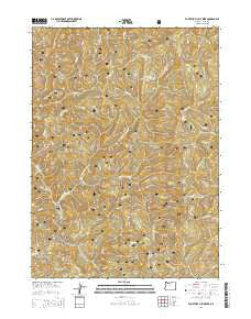
~ Fourth of July Creek OR topo map, 1:24000 scale, 7.5 X 7.5 Minute, Current, 2014
Fourth of July Creek, Oregon, USGS topographic map dated 2014.
Includes geographic coordinates (latitude and longitude). This topographic map is suitable for hiking, camping, and exploring, or framing it as a wall map.
Printed on-demand using high resolution imagery, on heavy weight and acid free paper, or alternatively on a variety of synthetic materials.
Topos available on paper, Waterproof, Poly, or Tyvek. Usually shipping rolled, unless combined with other folded maps in one order.
- Product Number: USGS-7259682
- Free digital map download (high-resolution, GeoPDF): Fourth of July Creek, Oregon (file size: 41 MB)
- Map Size: please refer to the dimensions of the GeoPDF map above
- Weight (paper map): ca. 55 grams
- Map Type: POD USGS Topographic Map
- Map Series: US Topo
- Map Verison: Current
- Cell ID: 16156
- Datum: North American Datum of 1983
- Map Projection: Transverse Mercator
- Map Cell Name: Fourth of July Creek
- Grid size: 7.5 X 7.5 Minute
- Date on map: 2014
- Map Scale: 1:24000
- Geographical region: Oregon, United States
Neighboring Maps:
All neighboring USGS topo maps are available for sale online at a variety of scales.
Spatial coverage:
Topo map Fourth of July Creek, Oregon, covers the geographical area associated the following places:
- Fourth of July Creek - Bear Ridge - Wheeler Ridge - Dry Creek - Elk Creek - Winchuck Recreation Site - First Camp Recreation Site - Packsaddle Lookout - Harbor Division - Wheeler Creek Natural Research Area - Kink Creek - Wheeler Creek - Ludlum House Recreation Site - Emily Creek Way - Salmon Creek - Sankey Creek - Ludlum Place - East Fork Winchuck River - Packsaddle Mountain - Packsaddle Trail - Bear Wallow Lookout (historical) - Elk Mountain - Bridge Creek - Bear Creek - Louise Creek
- Map Area ID: AREA42.12542-124.125-124
- Northwest corner Lat/Long code: USGSNW42.125-124.125
- Northeast corner Lat/Long code: USGSNE42.125-124
- Southwest corner Lat/Long code: USGSSW42-124.125
- Southeast corner Lat/Long code: USGSSE42-124
- Northern map edge Latitude: 42.125
- Southern map edge Latitude: 42
- Western map edge Longitude: -124.125
- Eastern map edge Longitude: -124


