
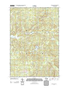
~ Bucks Lake WI topo map, 1:24000 scale, 7.5 X 7.5 Minute, Historical, 2013
Bucks Lake, Wisconsin, USGS topographic map dated 2013.
Includes geographic coordinates (latitude and longitude). This topographic map is suitable for hiking, camping, and exploring, or framing it as a wall map.
Printed on-demand using high resolution imagery, on heavy weight and acid free paper, or alternatively on a variety of synthetic materials.
Topos available on paper, Waterproof, Poly, or Tyvek. Usually shipping rolled, unless combined with other folded maps in one order.
- Product Number: USGS-5952273
- Free digital map download (high-resolution, GeoPDF): Bucks Lake, Wisconsin (file size: 36 MB)
- Map Size: please refer to the dimensions of the GeoPDF map above
- Weight (paper map): ca. 55 grams
- Map Type: POD USGS Topographic Map
- Map Series: US Topo
- Map Verison: Historical
- Cell ID: 5963
- Datum: North American Datum of 1983
- Map Projection: Transverse Mercator
- Map Cell Name: Bucks Lake
- Grid size: 7.5 X 7.5 Minute
- Date on map: 2013
- Map Scale: 1:24000
- Geographical region: Wisconsin, United States
Neighboring Maps:
All neighboring USGS topo maps are available for sale online at a variety of scales.
Spatial coverage:
Topo map Bucks Lake, Wisconsin, covers the geographical area associated the following places:
- Lost Lake - Hardwood Trail - Perch Lake - Star Lake - Blue Hills Lookout Tower - Frontier School (historical) - Hill Trail Flowage - Three Lakes - Audie Lake - Mount Atlanta - Wilkinson Townhall - Town of Wilkinson - Tainter 2WP1283 Dam - Bucks Lake - South Fork Hemlock Creek - Town of Wilson - Johns Creek - Pine Lake - Murphy Flowage - Louler Creek - Blue Hills G-129.9 Dam
- Map Area ID: AREA45.62545.5-91.5-91.375
- Northwest corner Lat/Long code: USGSNW45.625-91.5
- Northeast corner Lat/Long code: USGSNE45.625-91.375
- Southwest corner Lat/Long code: USGSSW45.5-91.5
- Southeast corner Lat/Long code: USGSSE45.5-91.375
- Northern map edge Latitude: 45.625
- Southern map edge Latitude: 45.5
- Western map edge Longitude: -91.5
- Eastern map edge Longitude: -91.375


