Free Shipping on map orders over $300
Sacramento River Andrus Island to Sacramento (18662-22) by NOAA
Sacramento River Fourmile Bend To Colusa (18667-12) by NOAA
Sacramento River Sacramento to Fourmile Bend (18664-12) by NOAA
Sacramento, California
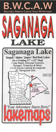
Saganaga & Seagull lake area #90108
Saginaw : Bay City : city street map = Bay City : Saginaw : city street map
Saginaw Bay Fishing Map
Saginaw River (14867-27) by NOAA
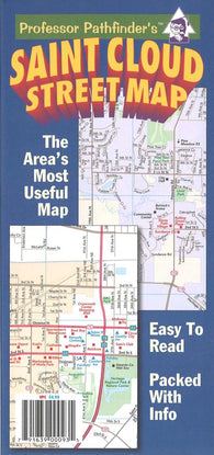
Saint Cloud street map
Sakakawea - Deep Water Wildlife Area to Garrison Dam
Sakakawea - Sand Creek Bay to Deep Water Wildlife Area
Salem and Lynn Harbors; Manchester Harbor (13275-32) by NOAA
Salem, Marblehead and Beverly Harbors (13276-23) by NOAA
Salem, Marion and Polk Counties, Oregon
Salida, St. Elmo and Mount Shavano, Colorado, Map 130
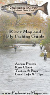
Salmon River NY River Map and Fishing Guide
Salmon-Challis National Forest Map - Salmon Ranger District - Waterproof
Salt Lake City, Utah (NK 12-11) Raised Relief Map
Salt Lake City: City Street Map
Salt River Canyon and Tonto National Forest, Map 853
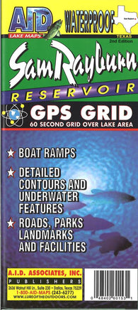
Sam Rayburn Reservoir
Sam Rayburn Reservoir Fishing Map
San Antonio : Texas : Rapid Routes : laminated road map
San Antonio – Austin & the Hill Country, Texas Vicinity Map
San Antonio, Austin and the Hill Country, Texas Regional
San Antonio, Texas, Street Map
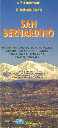
San Bernardino City Map
San Clemente Island (18762-16) by NOAA
San Clemente Island Pyramid Cove and approaches (18764-10) by NOAA
San Clemente lsland northern part; Wison Cove (18763-11) by NOAA
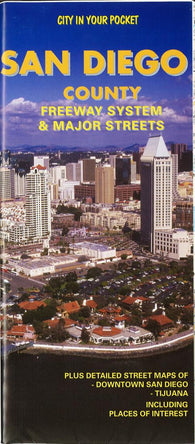
San Diego County : freeway system & major streets
San Diego Inshore (San Diego Bay & Mission Bay) fishing map
San Diego to Cape Mendocino (18020-39) by NOAA
San Diego To Islas De Todos Santos (Loran-C) (NGA-18766-7) by National Geospatial-Intelligence Agency
San Diego to San Francisco Bay (18022-36) by NOAA
San Diego to Santa Rosa Island (18740-44) by NOAA
San Diego, CA - Folded Street Map
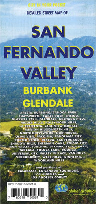
San Fernando Valley, Glendale, and Burbank Map
San Francisco : city map