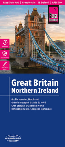
Großbritannien : Nordirland = Great Britain, Northern Ireland
Great Britain and Northern Ireland on an indexed, double-sided map at 1:750,000 from Reise Know-How printed on light, waterproof and tear-resistant synthetic paper. The map, published as part of the publishers’ highly acclaimed “World Mapping Project”, divides Great Britain north-south along the Hartlepool – Lake District line with a small overlap between the sides.
Topography is shown by altitude colouring and names of main mountain ranges, plus additional colouring for woodlands and boundaries of national parks or other protected areas. Presentation of the road network is very clear and indicates driving distances (in miles) on selected secondary routes but does not include many of the features shown on maps from British publishers such as motorway services or jubction numbers, primary route destinations, numbering for all the A roads, etc. Main railway lines are included and ferry connections to the Scottish islands and across the Irish Sea are marked. Symbols indicate vario
- Product Number: RKH_GB_23
- Reference Product Number: - None -
- ISBN: 9783831772605
- Date of Publication: 6/1/2013
- Folded Size: 10.24 inches high by 4.72 inches wide
- Unfolded (flat) Size: 27.56 inches high by 39.37 inches wide
- Map format: Folded
- Map type: Trade Maps - Road
- Geographical region: United Kingdom
- Geographical subregion: England,Northern Ireland,Scotland,Wales

