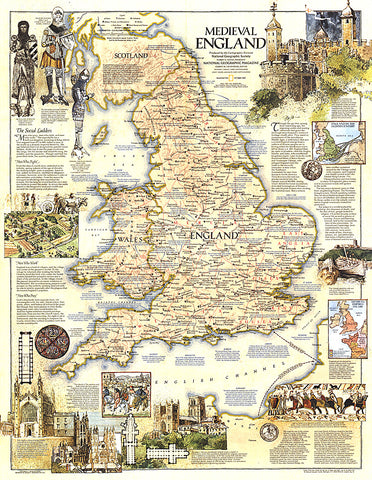
1979 Medieval England Map
This map of Medieval England contains a wealth of historical information and sites as well as beautiful illustrations. Published in October 1979 as a companion to the modern map British Isles.
- Product Number: PODHNG_UK_MED_79
- Reference Product Number: 2321496M
- ISBN: - None -
- Date of Publication: 6/1/1979
- Unfolded (flat) Size: 29.25 inches high by 22.75 inches wide
- Map format: Wall
- Map type: Trade Maps - Historical
- Geographical region: United Kingdom