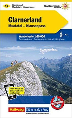
Glarnerland - Walensee : Switzerland Hiking Map #12
This hiking map shows three grades of hiking route; hiking path, mountain path and alpine path. It includes bus routes, railways, chair lifts, cable car lines, campsites, hostels, mountain huts, hotels, and points of interest.
- Product Number: KF_SWI_12_GLA_19
- Reference Product Number: 2305123M
- ISBN: 9783259022122
- Date of Publication: 6/1/2019
- Folded Size: 7.87 inches high by 5.12 inches wide
- Unfolded (flat) Size: 31.89 inches high by 47.64 inches wide
- Map format: Folded
- Map type: Trade Maps - Hiking
- Geographical region: Switzerland


