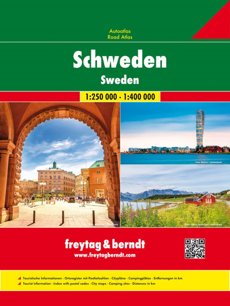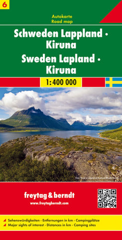
Sweden Lamapd - Kiruna, road map 1:400,000
Swedish Lapland: Kiruna area in a series of detailed, indexed touring maps from Freytag & Berndt with the southern and central part of the country at 1:250,000 and the north at 1:400,000. Relief shading and spot heights show the topography.
Road network includes what is confusingly described in the map legend as “private” roads, unsurfaced roads open to the general public but simply privately maintained, and indicates toll routes, restrictions and winter closures, steep gradients, motorway services, etc. Scenic roads and special tourist routes are highlighted. Railways with stations, ferry services, and local administrative boundaries are marked. National parks and prohibited areas are highlighted and symbols show places of interest, campsites, mountain shelters, youth hostels, etc.
The maps of southern and central Sweden have latitude and longitude lines drawn at 10 intervals, with 30 on the two northern sheets. Multilingual map legend includes English. A place name
- Product Number: FB_SWE_6_19
- Reference Product Number: - None -
- ISBN: 9783707904703
- Date of Publication: 4/30/2019
- Folded Size: 10.02 inches high by 5.11 inches wide
- Unfolded (flat) Size: 10.02 inches high by 5.11 inches wide
- Map format: Folded
- Map type: Trade Maps - Road
- Geographical region: Sweden