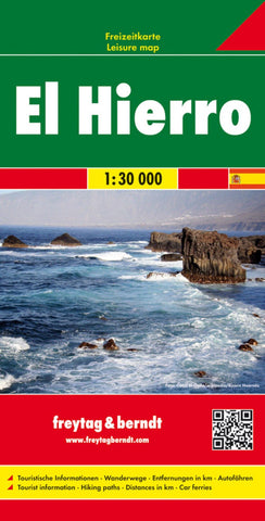
El Hierro, road map 1:30,000
The island of Hierro at 1:30,000 on a contoured, GPS compatible tourist map from Freytag & Berndt highlighting various places of interest, as well as waymarked hiking routes. Contours at 50m intervals are enhanced by bold relief shading and names of numerous peaks to provide a very clear picture of the island’s topography.
Road network includes local roads and country tracks, indicating locations of petrol stations and driving distances on main routes. Picturesque towns and villages or sites are clearly highlighted, and symbols mark other places of interest including beaches, campsites, viewpoints, lizard reserves, etc. Also provided is a list of bus routes.
For walkers the map highlights waymarked hiking routes. Latitude and longitude lines are drawn at intervals of 1’. The map has no index. Map legend includes English. As on many Freytag & Berndt maps, place names are in larger size print than on most alternative titles.
- Product Number: FB_EL_HIERRO_19
- Reference Product Number: - None -
- ISBN: 9783707912883
- Date of Publication: 11/19/2019
- Folded Size: 10.02 inches high by 5.11 inches wide
- Unfolded (flat) Size: 10.02 inches high by 5.11 inches wide
- Map format: Folded
- Map type: Trade Maps - Road
- Geographical region: Spain