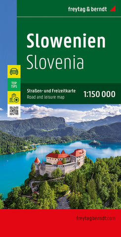
Slovenia, road map 1:150,000, top 10 tips
Slovenia at 1:150,000 on a double-sided, indexed road map in Freytag & Berndt’s “Top 10 Tips” series, with brief descriptions of the country’s ten best sights, plus street plans of Ljubljana ad Maribor. Coverage includes the Italian side of the Julian Alps, extending west to Udine, and the north-western corner of Croatia with Zagreb.
Topography is shown by relief shading, with spot heights and plenty of names of peaks, valleys, etc. National parks and protected areas are marked. Road network includes minor roads and cart tracks, and indicates driving distances on most local routes, roads closed to motorized traffic or not recommended for caravans, seasonal closures on mountain roads, steep gradients, toll sections, motorway services, etc. Special tourist routes and scenic roads are highlighted. Railway lines are shown with stations and local airports are marked.
Picturesque towns and villages are highlighted. The country’s 10 top sights are prominently marked, with brie
- Product Number: FB_SVA_20
- Reference Product Number: - None -
- ISBN: 9783707904734
- Date of Publication: 7/27/2020
- Folded Size: 10.02 inches high by 5.11 inches wide
- Unfolded (flat) Size: 10.02 inches high by 5.11 inches wide
- Map format: Folded
- Map type: Trade Maps - Road
- Geographical region: Slovenia

