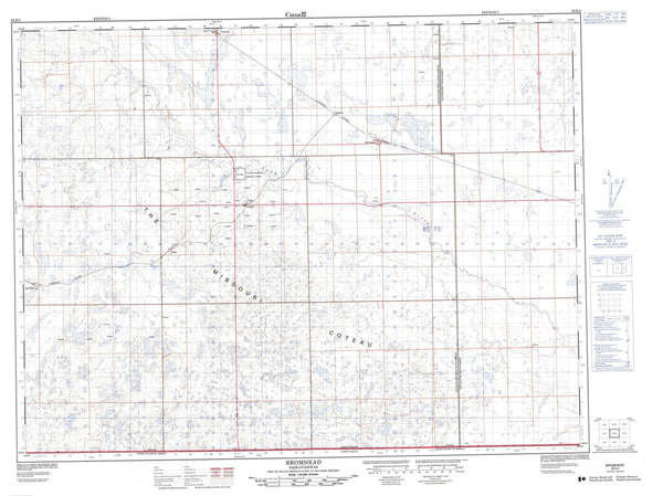
074P05 Clut Lakes Canada topo map, 1:50,000 scale
074P05 Clut Lakes NRCAN topographic map.
Includes UTM and GPS geographic coordinates (latitude and longitude). This 50k scale map is suitable for hiking, camping, and exploring, or you could frame it as a wall map.
Printed on-demand using high resolution, on heavy weight and acid free paper, or as an upgrade on a variety of synthetic materials.
Topos available on paper, Waterproof, Poly, or Tyvek. Usually shipping rolled, unless combined with other folded maps in one order.
- Product Number: NRCAN-074P05
- Parent Topo: TOPO-074P
- Map ID also known as: 074P05, 74P5, 74P05
- Unfolded Size: Approximately 26" high by 36" wide
- Weight (paper map): ca. 55 grams
- Map Type: POD NRCAN Topographic Map
- Map Scale: 1:50,000
- Geographical region: Saskatchewan, Canada
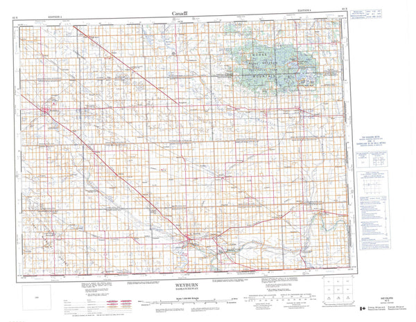
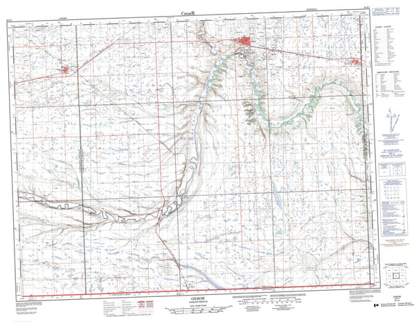
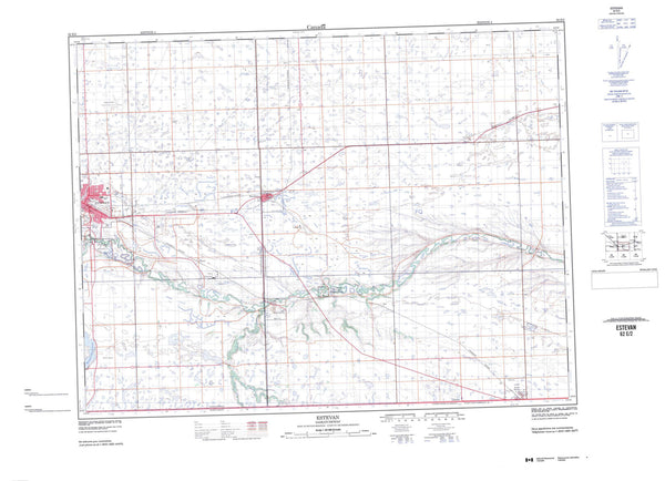
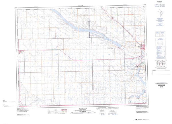
Neighboring Maps:
All neighboring Canadian topo maps are available for sale online at 1:50,000 scale.
Purchase the smaller scale map covering this area: Topo-074P
Spatial coverage:
Topo map sheet 074P05 Clut Lakes covers the following places:
- Godfrey Bay - Larocque Bay - North Arm - Taylor Bay - Woodcock Rapids - Stony Rapids - Chicken 224 - Chicken 225 - Axis Lake - Beech Lake - Brooks Lake - Clut Lakes - Coughlin Lake - Davison Lake - Day Lake - East Hawkes Lake - Fenuik Lake - Forsachuk Lake - Griff Lake - Gunderson Lake - Hardie Lake - Hawkes Lakes - Heinzman Lake - Hepfner Lake - Honsvall Lake - Jaeger Lake - Keil Lake - Konkol Lake - Koshney Lake - Kostenly Lake - Lanegraff Lake - Lindstad Lake - MacGillivray Lake - MacLachlan Lake - Mary Lake - McClelland Lake - Norgang Lake - Owens Lake - Pratt Lake - Prokopchuk Lake - Read Lake - Reeve Lake - Rheilander Lake - Rosinski Lake - Roulston Lake - Scharfe Lake - Smysniuk Lake - Sperling Lake - Stony Lake - Tilden Lake - Valley Lake - Weisbrodt Lake - West Hawkes Lake - Whittaker Lake - Stony Rapids - Carp River - Fond du Lac River - Fond-du-lac River - Gibbons Creek - Hanson Creek - Langley Creek - Little Creek - Patterson Creek - Platt Creek - Stone River - Trask Creek