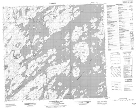
064E07 Bedford Island Canada topo map, 1:50,000 scale
064E07 Bedford Island NRCAN topographic map.
Includes UTM and GPS geographic coordinates (latitude and longitude). This 50k scale map is suitable for hiking, camping, and exploring, or you could frame it as a wall map.
Printed on-demand using high resolution, on heavy weight and acid free paper, or as an upgrade on a variety of synthetic materials.
Topos available on paper, Waterproof, Poly, or Tyvek. Usually shipping rolled, unless combined with other folded maps in one order.
- Product Number: NRCAN-064E07
- Parent Topo: TOPO-064E
- Map ID also known as: 064E07, 64E7, 64E07
- Unfolded Size: Approximately 26" high by 36" wide
- Weight (paper map): ca. 55 grams
- Map Type: POD NRCAN Topographic Map
- Map Scale: 1:50,000
- Geographical region: Saskatchewan, Canada
Neighboring Maps:
All neighboring Canadian topo maps are available for sale online at 1:50,000 scale.
Purchase the smaller scale map covering this area: Topo-064E
Spatial coverage:
Topo map sheet 064E07 Bedford Island covers the following places:
- Kowalski Bay - Robinson Bay - Swan Bay - Turner Bay - Vermilion Bay - Brown Point - Vermilion Point - McLean Channel - Reid Channel - Adams Island - Bedford Island - Bladon Island - Brown Islands - Burton Island - Gibson Island - Hay Island - Hourston Island - McCrea Island - Morton Island - Morton Islands - Pickett Island - Reindeer Island - Stickler Island - Vermilion Island - Weaver Island - Wilson Island - Conacher Lake - Reilly Lake - Reindeer Lake - Suffern Lake - Robertson Rapids - Meshke Creek - Swan River - Wathaman River