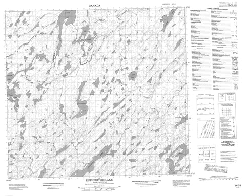
064E06 Rutherford Lake Canada topo map, 1:50,000 scale
064E06 Rutherford Lake NRCAN topographic map.
Includes UTM and GPS geographic coordinates (latitude and longitude). This 50k scale map is suitable for hiking, camping, and exploring, or you could frame it as a wall map.
Printed on-demand using high resolution, on heavy weight and acid free paper, or as an upgrade on a variety of synthetic materials.
Topos available on paper, Waterproof, Poly, or Tyvek. Usually shipping rolled, unless combined with other folded maps in one order.
- Product Number: NRCAN-064E06
- Parent Topo: TOPO-064E
- Map ID also known as: 064E06, 64E6, 64E06
- Unfolded Size: Approximately 26" high by 36" wide
- Weight (paper map): ca. 55 grams
- Map Type: POD NRCAN Topographic Map
- Map Scale: 1:50,000
- Geographical region: Saskatchewan, Canada
Neighboring Maps:
All neighboring Canadian topo maps are available for sale online at 1:50,000 scale.
Purchase the smaller scale map covering this area: Topo-064E
Spatial coverage:
Topo map sheet 064E06 Rutherford Lake covers the following places:
- Craig Island - Allen Lake - Bachelu Lake - Collier Lake - Conacher Lake - Lyle Lake - Morwick Lake - Reilly Lake - Rutherford Lake - Spalding Lake - Weatherup Lake - Yeo Lake - Yeo Lakes - Zacher Lake - Campbell River - Ettle Creek - Meshke Creek - Wathaman River