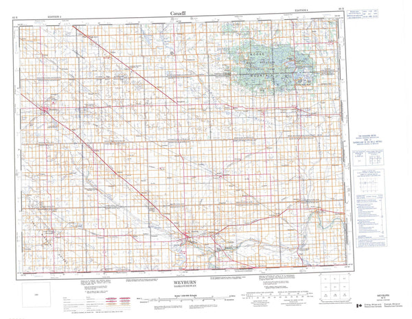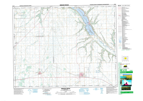
062L12 Indian Head Canada topo map, 1:50,000 scale
062L12 Indian Head NRCAN topographic map.
Includes UTM and GPS geographic coordinates (latitude and longitude). This 50k scale map is suitable for hiking, camping, and exploring, or you could frame it as a wall map.
Printed on-demand using high resolution, on heavy weight and acid free paper, or as an upgrade on a variety of synthetic materials.
Topos available on paper, Waterproof, Poly, or Tyvek. Usually shipping rolled, unless combined with other folded maps in one order.
- Product Number: NRCAN-062L12
- Parent Topo: TOPO-062L
- Map ID also known as: 062L12, 62L12
- Unfolded Size: Approximately 26" high by 36" wide
- Weight (paper map): ca. 55 grams
- Map Type: POD NRCAN Topographic Map
- Map Scale: 1:50,000
- Geographical region: Saskatchewan, Canada
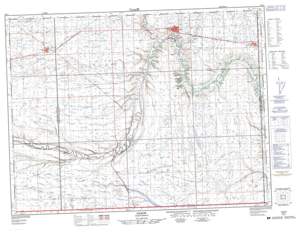
Neighboring Maps:
All neighboring Canadian topo maps are available for sale online at 1:50,000 scale.
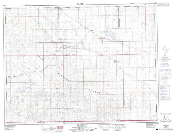
Purchase the smaller scale map covering this area: Topo-062L
Spatial coverage:
Topo map sheet 062L12 Indian Head covers the following places:
- Edgeley - Taylor Beach - Carry The Kettle 76-18 - Carry The Kettle 76-19 - Carry The Kettle Nakoda First Nation 76-17 - Carry The Kettle Nakoda First Nation 76-29 - Carry The Kettle Nakoda First Nation 76-31 - Carry The Kettle Nakoda First Nation 76-32 - Pasqua 79 - Katepwa Lake - Katepwe Lake - Mission Lake - The Fishing Lakes - Abernethy No. 186 - Indian Head No. 156 - North Qu'Appelle No. 187 - South Qu'Appelle No. 157 - Indian Head Bird Sanctuary - Katepwa Point Provincial Park - Katepwa Provincial Park - Lebret Recreation Site - Refuge d'oiseaux d'Indian-Head - Echo Creek - Indianhead Creek - Pheasant Creek - Qu'Appelle River - Redfox Creek - Springbrook Creek - Indian Head - Qu'Appelle - Dingley - Lake View Beach - Lakeside - Muscow - Winro - Katepwa Beach - Katepwa South - Sandy Beach