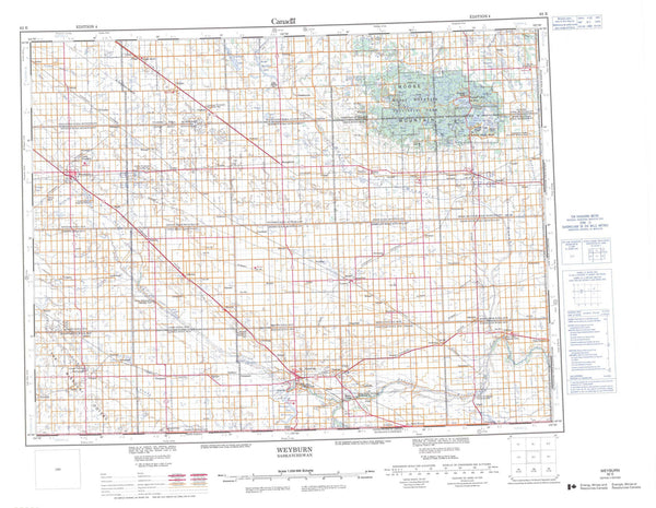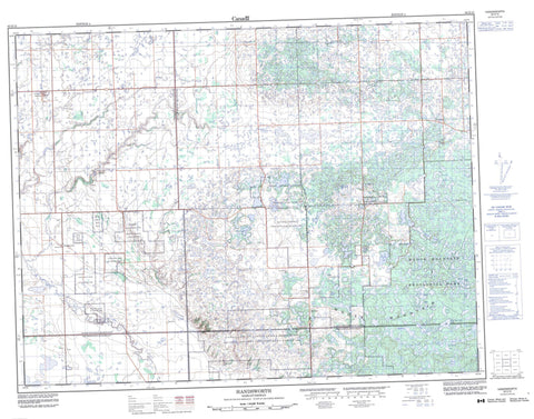
062E15 Handsworth Canada topo map, 1:50,000 scale
062E15 Handsworth NRCAN topographic map.
Includes UTM and GPS geographic coordinates (latitude and longitude). This 50k scale map is suitable for hiking, camping, and exploring, or you could frame it as a wall map.
Printed on-demand using high resolution, on heavy weight and acid free paper, or as an upgrade on a variety of synthetic materials.
Topos available on paper, Waterproof, Poly, or Tyvek. Usually shipping rolled, unless combined with other folded maps in one order.
- Product Number: NRCAN-062E15
- Parent Topo: TOPO-062E
- Map ID also known as: 062E15, 62E15
- Unfolded Size: Approximately 26" high by 36" wide
- Weight (paper map): ca. 55 grams
- Map Type: POD NRCAN Topographic Map
- Map Scale: 1:50,000
- Geographical region: Saskatchewan, Canada
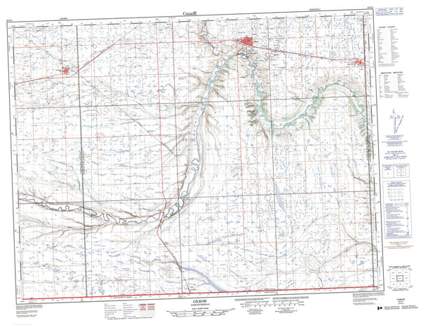
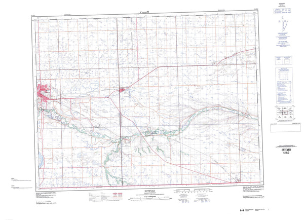
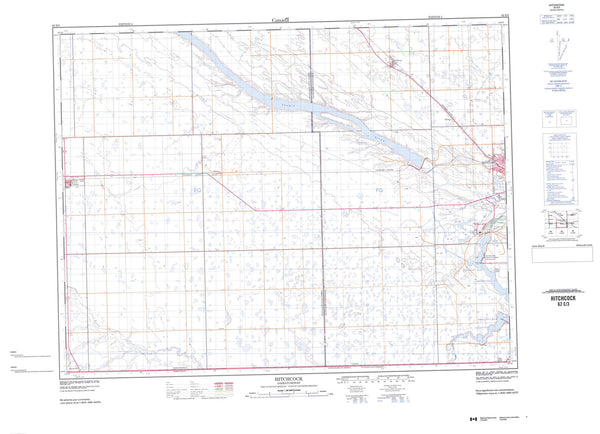
Neighboring Maps:
All neighboring Canadian topo maps are available for sale online at 1:50,000 scale.
Purchase the smaller scale map covering this area: Topo-062E
Spatial coverage:
Topo map sheet 062E15 Handsworth covers the following places:
- Corning - Ocean Man 69D - Ocean Man 69E - Ocean Man 69F - Ocean Man 69G - Ocean Man 69H - Ocean Man 69I - Pheasant Rump Nakota - Birch Island Lake - Burgess Lake - Camp Lake - Connell Lake - Coyote Lake - Deep Water Lake - Hassard Lake - Hippon Lake - Link Lake - Long Lake - Marie Lake - McFarlane Lake - Thirty Lake - West Two Island Lake - Yakowiskaw Lake - Moose Mountain - Brock No. 64 - Golden West No. 95 - Hazelwood No. 94 - Tecumseh No. 65 - Moose Mountain Provincial Forest - Moose Mountain Provincial Park - James Creek - Moose Mountain Creek - Gapview - Handsworth - Hazelwood - Moose Valley - Warmley