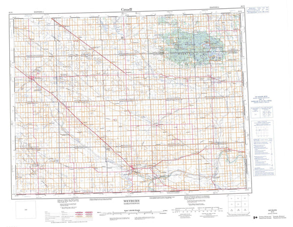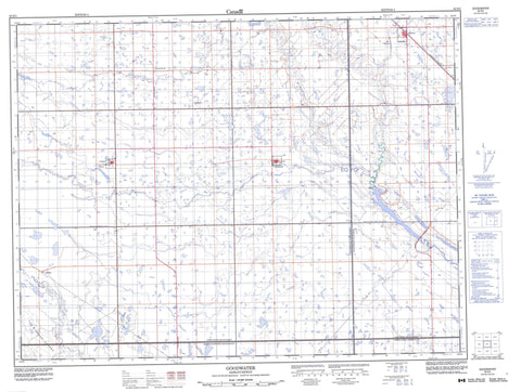
062E05 Goodwater Canada topo map, 1:50,000 scale
062E05 Goodwater NRCAN topographic map.
Includes UTM and GPS geographic coordinates (latitude and longitude). This 50k scale map is suitable for hiking, camping, and exploring, or you could frame it as a wall map.
Printed on-demand using high resolution, on heavy weight and acid free paper, or as an upgrade on a variety of synthetic materials.
Topos available on paper, Waterproof, Poly, or Tyvek. Usually shipping rolled, unless combined with other folded maps in one order.
- Product Number: NRCAN-062E05
- Parent Topo: TOPO-062E
- Map ID also known as: 062E05, 62E5, 62E05
- Unfolded Size: Approximately 26" high by 36" wide
- Weight (paper map): ca. 55 grams
- Map Type: POD NRCAN Topographic Map
- Map Scale: 1:50,000
- Geographical region: Saskatchewan, Canada
Neighboring Maps:
All neighboring Canadian topo maps are available for sale online at 1:50,000 scale.
Purchase the smaller scale map covering this area: Topo-062E
Spatial coverage:
Topo map sheet 062E05 Goodwater covers the following places:
- The Missouri Coteau - Argyle No. 1 - Cambria No. 6 - Cymri No. 36 - Lomond No. 37 - Souris Valley No. 7 - Doctor Mainprize Regional Park - Dr. Mainprize Regional Park - Lomond Wildlife Management Unit - Mainprize Regional Park - Cooke Creek - Jewel Creek - Long Creek - Moseley Creek - Roughbark Creek - Souris River - Colgate - Elswick - Holloway - Maxim - Goodwater - Halbrite - Tribune