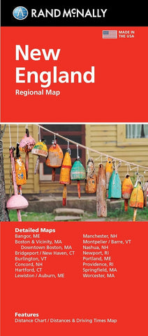
New England, Regional Map
Features:
Regularly updated, full-color maps
Clearly labeled Interstate, U.S., state, and county highways
Detail maps of major cities, a mileage chart, and a Mileages & Driving Times Map
Indications of parks, points of interest, airports, county boundaries, and more
Easy-to-use legend
Detailed index
Convenient folded size
Detailed maps of: Bridgeport, CT; Hartford, CT; New Haven, CT; Boston & Vicinity, MA; Boston Downtown, MA; Springfield, MA; Worcester, MA; Bangor, ME; Lewiston, ME; Portland, ME; Concord, NH; Manchester, NH; Nashua, NH; Newport, RI; Providence, RI; Burlin
- Product Number: RM_EASY_NEW_ENG_23
- Reference Product Number: - None -
- ISBN: 9780528025778
- Date of Publication: 9/1/2023
- Folded Size: 9.45 inches high by 4.33 inches wide
- Unfolded (flat) Size: 40.16 inches high by 27.95 inches wide
- Map format: Folded
- Map type: Trade Maps - Road
- Geographical region: United States
- Geographical subregion: Connecticut,Maine,Massachusetts,New Hampshire,Rhode Island,Vermont