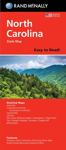
North Carolina Easy to Read Folded Map
State map of North Carolina. Includes additional detailed maps of Ashville, Charlotte & Vicinity, downtown Charlotte, Fayeteville, Hichory : the triad: Winston-Salem, Greensboro, High Point : the triangle: Raleigh, Durham, Chapel Hill, Wilmington : featuring distance chart, distances and driving times map, Great Smoky Mountains National Park, city and county index.
- Product Number: RM_EASY_NC_18N
- Reference Product Number: 2293456M
- ISBN: 9780528024641
- Date of Publication: 6/1/2018
- Folded Size: 9.45 inches high by 4.33 inches wide
- Unfolded (flat) Size: 27.95 inches high by 40.16 inches wide
- Map format: Folded
- Map type: Trade Maps - Road
- Geographical region: United States
- Geographical subregion: North Carolina