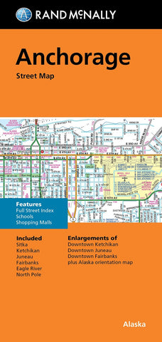
Anchorage : street map
Rand McNallys folded map for Anchorage is a must-have for anyone traveling in and around this part of Alaska, showing all Interstate, U.S., state, and county highways, along with clearly indicated parks, points of interest, airports, county boundaries, and streets. The easy-to-use legend and detailed index make for quick and easy location of destinations.
-Full-color maps
-Clearly labeled Interstate, U.S., state, and county highways
-Indications of parks, points of interest, airports, county boundaries, schools, shopping malls, downtown & vicinity maps
-Enlargement of downtown
-Easy-to-use legend
-Detailed index & full street index
-Convenient folded size
Includes: Sitka, Ketchikan, Juneau, Fairbanks, Eagle River, North Pole & enlargements of: Downtown Ketchikan, Juneau and Fairbanks.
- Product Number: RM_ANCHOR_22
- Reference Product Number: - None -
- ISBN: 9780528024375
- Date of Publication: 6/1/2022
- Folded Size: 9.45 inches high by 4.33 inches wide
- Unfolded (flat) Size: 27.95 inches high by 40.16 inches wide
- Map format: Folded
- Map type: Trade Maps - City Maps
- Geographical region: United States
- Geographical subregion: Alaska

