
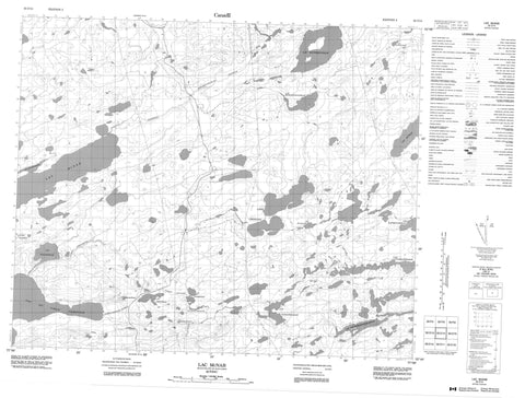
033C14 Lac Mcnab Canada topo map, 1:50,000 scale
033C14 Lac Mcnab NRCAN topographic map.
Includes UTM and GPS geographic coordinates (latitude and longitude). This 50k scale map is suitable for hiking, camping, and exploring, or you could frame it as a wall map.
Printed on-demand using high resolution, on heavy weight and acid free paper, or as an upgrade on a variety of synthetic materials.
Topos available on paper, Waterproof, Poly, or Tyvek. Usually shipping rolled, unless combined with other folded maps in one order.
- Product Number: NRCAN-033C14
- Parent Topo: TOPO-033C
- Map ID also known as: 033C14, 33C14
- Unfolded Size: Approximately 26" high by 36" wide
- Weight (paper map): ca. 55 grams
- Map Type: POD NRCAN Topographic Map
- Map Scale: 1:50,000
- Geographical region: Quebec, Canada
Neighboring Maps:
All neighboring Canadian topo maps are available for sale online at 1:50,000 scale.
Purchase the smaller scale map covering this area: Topo-033C
Spatial coverage:
Topo map sheet 033C14 Lac Mcnab covers the following places:
- Lac Achipwasich - Lac Akanwatikachwat - Lac Apimitisich - Lac Apitukamach - Lac Awapitunischuch - Lac Kachinwapachikamach - Lac Kapimitamiskaw - Lac Kapischiyakawisi - Lac Kaychikutinaw - Lac McNab - Lac Mistinikap - Lac Miyakatu - Lac Miyikan - Lac Wapiskwakamas - Lac Wisinawkamaw - Lac Wiyaschunis - Lacs Chinusas - Rivière du Vieux Comptoir - Rivière Wiyaschun - Ruisseau Chinusasistikw - Ruisseau Mistinikap - Ruisseau Mistinikap Apichach - Ruisseau Pakamisimuwaw Asachuch - Ruisseau Wiyaschunis


