
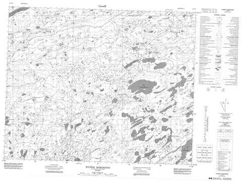
033C03 Riviere Miskimatao Canada topo map, 1:50,000 scale
033C03 Riviere Miskimatao NRCAN topographic map.
Includes UTM and GPS geographic coordinates (latitude and longitude). This 50k scale map is suitable for hiking, camping, and exploring, or you could frame it as a wall map.
Printed on-demand using high resolution, on heavy weight and acid free paper, or as an upgrade on a variety of synthetic materials.
Topos available on paper, Waterproof, Poly, or Tyvek. Usually shipping rolled, unless combined with other folded maps in one order.
- Product Number: NRCAN-033C03
- Parent Topo: TOPO-033C
- Map ID also known as: 033C03, 33C3, 33C03
- Unfolded Size: Approximately 26" high by 36" wide
- Weight (paper map): ca. 55 grams
- Map Type: POD NRCAN Topographic Map
- Map Scale: 1:50,000
- Geographical region: Quebec, Canada
Neighboring Maps:
All neighboring Canadian topo maps are available for sale online at 1:50,000 scale.
Purchase the smaller scale map covering this area: Topo-033C
Spatial coverage:
Topo map sheet 033C03 Riviere Miskimatao covers the following places:
- Lac Amiskw Matawaw - Lac Apikwaywasich - Lac Apimitaukach - Lac Asini Kasachipet - Lac Awawachiwakamach - Lac Esachiuch - Lac Kachisikamach - Lac Kachiskamikach - Lac Kamaministikuch - Lac Kamisikamach - Lac Kanisumuch - Lac Kapakupesakach - Lac Kapisikama - Lac Kapisikamasich - Lac Kauskwaskasich - Lac Kawayauchikamach - Lac Kayapishamisu - Lac Nistam Siyachistawach - Lac Takutauch Katakuch - Lac Tau Kasachipech Wist - Lac Wiyapinakapu Apimutet - Lacs Anistukamach - Lacs Anisumuch - Colline Uchish - Rivière à l'Eau Froide - Rivière Acotago - Rivière Akautago - Rivière Eastmain - Rivière Miskimatao - Ruisseau Enistustikwach Kayapishamisu - Ruisseau Esachistuwach - Ruisseau Kayapishamishistikw


