
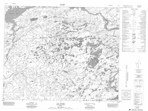
033C01 Lac Pivert Canada topo map, 1:50,000 scale
033C01 Lac Pivert NRCAN topographic map.
Includes UTM and GPS geographic coordinates (latitude and longitude). This 50k scale map is suitable for hiking, camping, and exploring, or you could frame it as a wall map.
Printed on-demand using high resolution, on heavy weight and acid free paper, or as an upgrade on a variety of synthetic materials.
Topos available on paper, Waterproof, Poly, or Tyvek. Usually shipping rolled, unless combined with other folded maps in one order.
- Product Number: NRCAN-033C01
- Parent Topo: TOPO-033C
- Map ID also known as: 033C01, 33C1, 33C01
- Unfolded Size: Approximately 26" high by 36" wide
- Weight (paper map): ca. 55 grams
- Map Type: POD NRCAN Topographic Map
- Map Scale: 1:50,000
- Geographical region: Quebec, Canada
Neighboring Maps:
All neighboring Canadian topo maps are available for sale online at 1:50,000 scale.
Purchase the smaller scale map covering this area: Topo-033C
Spatial coverage:
Topo map sheet 033C01 Lac Pivert covers the following places:
- Baie Kamisach Iyatuwakami - Jamésie - Lac du Camp Indien - Lac Kaministikuch - Lac Kapakwach Sipastikw - Lac Kapeykuch Ministikw - Lac Katatapiminakun - Lac Kawewachiwakamach - Lac Kawipuskakamach - Lac Mistumis - Lac Pivert - Réservoir Opinaca - Jamésie - Rivière Acotago - Rivière Akautago - Rivière Eastmain - Rivière Nicolas - Courbe Great - Great Bend - Le Grand Détour - Baie-James


