
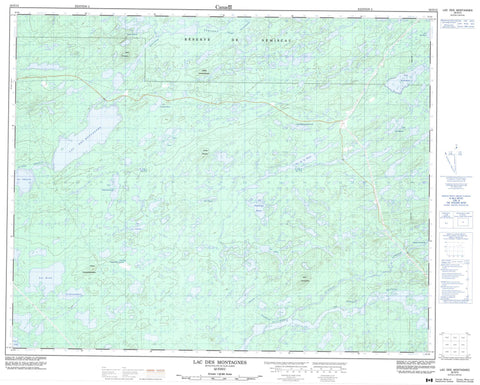
032O12 Lac Des Montagnes Canada topo map, 1:50,000 scale
032O12 Lac Des Montagnes NRCAN topographic map.
Includes UTM and GPS geographic coordinates (latitude and longitude). This 50k scale map is suitable for hiking, camping, and exploring, or you could frame it as a wall map.
Printed on-demand using high resolution, on heavy weight and acid free paper, or as an upgrade on a variety of synthetic materials.
Topos available on paper, Waterproof, Poly, or Tyvek. Usually shipping rolled, unless combined with other folded maps in one order.
- Product Number: NRCAN-032O12
- Parent Topo: TOPO-032O
- Map ID also known as: 032O12, 32O12
- Unfolded Size: Approximately 26" high by 36" wide
- Weight (paper map): ca. 55 grams
- Map Type: POD NRCAN Topographic Map
- Map Scale: 1:50,000
- Geographical region: Quebec, Canada
Neighboring Maps:
All neighboring Canadian topo maps are available for sale online at 1:50,000 scale.
Purchase the smaller scale map covering this area: Topo-032O
Spatial coverage:
Topo map sheet 032O12 Lac Des Montagnes covers the following places:
- Poste Albanel - Lac Chimi - Lac Crochet - Lac de la Hutte - Lac de l'Ancre - Lac des Canards - Lac des Îles - Lac des Montagnes - Lac des Plages - Lac du Spodumène - Lac Kapitukamach - Lac Kapituwekamistech - Lac Kawashekamach - Lac Kawawiyekamach - Lac Long - Lac Namekusich Katato - Lac Rond - Lac Saint-Simon - Lac Valiquette - Lac Voirdye - Lacs Noirs - Colline Kanutimatinach - Colline Kapeyakutischekau - Colline Kapusau - Mont Chinuchi - Mont Kaikataukau - Réserve de Nemiscau - Rapides Chikaskutat - Rivière de Rupert - Rivière Lemare - Rivière Nemiscau - Rivière Rupert - Ruisseau Kapemischiskasich - Ruisseau Kawasachuch - Portage Iskweu - Portage Kaikataukau - Portage Kapimichischiskach - Portage Kashituwasich - Marécage Kapeyakutischekach


