
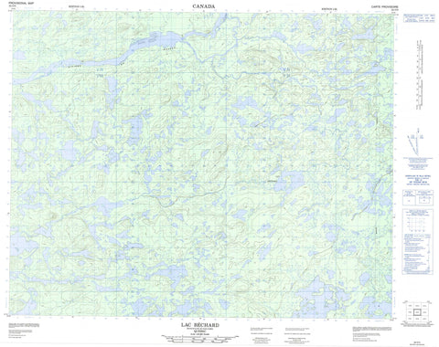
032O05 Lac Bechard Canada topo map, 1:50,000 scale
032O05 Lac Bechard NRCAN topographic map.
Includes UTM and GPS geographic coordinates (latitude and longitude). This 50k scale map is suitable for hiking, camping, and exploring, or you could frame it as a wall map.
Printed on-demand using high resolution, on heavy weight and acid free paper, or as an upgrade on a variety of synthetic materials.
Topos available on paper, Waterproof, Poly, or Tyvek. Usually shipping rolled, unless combined with other folded maps in one order.
- Product Number: NRCAN-032O05
- Parent Topo: TOPO-032O
- Map ID also known as: 032O05, 32O5, 32O05
- Unfolded Size: Approximately 26" high by 36" wide
- Weight (paper map): ca. 55 grams
- Map Type: POD NRCAN Topographic Map
- Map Scale: 1:50,000
- Geographical region: Quebec, Canada
Neighboring Maps:
All neighboring Canadian topo maps are available for sale online at 1:50,000 scale.
Purchase the smaller scale map covering this area: Topo-032O
Spatial coverage:
Topo map sheet 032O05 Lac Bechard covers the following places:
- Bras Sipastikw - Lac Béchard - Lac Chinuseu Kamisichitit - Lac Chwani Sikapeu - Lac Kamiskushiuch Pachistuwakan - Lac Kamiyusit Atikamekw - Lac Kanamekuskasich - Lac Kashipitich - Lac Kawasekamich - Lac Kawawiyekamach - Lac Kuchuwanish - Lac Long - Lac Nichikusich Kapapahituto - Lac Pukutimau - Lac Simiyan - Lac Wawiyushi - Lac Wemistikushiuch Katautipahako - Colline Kachinwakanet - Colline Kanutimatinach - Colline Malaya - Colline Pakuchiskw - Esker Kawakataukau Useyau - Mont Chisewayushichi - Mont Kaputastitich - Mont Kayapishamishi - Rivière de Rupert - Rivière Machisakahikanistikw - Rivière Rupert - Ruisseau Kawasachuch - Ruisseau Kayapishamishi - Ruisseau Pakuchiskw - Ruisseau Wawiyushishu - Portage Ministikustakan


